
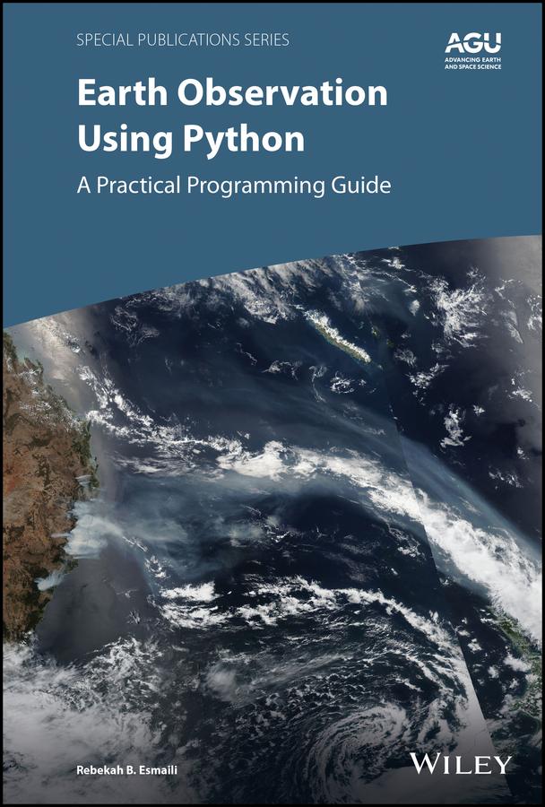
Learn basic Python programming to create functional and effective visualizations from earth observation satellite data sets
Thousands of satellite datasets are freely available online, but scientists need the right tools to efficiently analyze data and share results. Python has easy-to-learn syntax and thousands of libraries to perform common Earth science programming tasks.
Earth Observation Using Python: A Practical Programming Guide presents an example-driven collection of basic methods, applications, and visualizations to process satellite data sets for Earth science research.
- Gain Python fluency using real data and case studies
- Read and write common scientific data formats, like netCDF, HDF, and GRIB2
- Create 3-dimensional maps of dust, fire, vegetation indices and more
- Learn to adjust satellite imagery resolution, apply quality control, and handle big files
- Develop useful workflows and learn to share code using version control
- Acquire skills using online interactive code available for all examples in the book
The American Geophysical Union promotes discovery in Earth and space science for the benefit of humanity. Its publications disseminate scientific knowledge and provide resources for researchers, students, and professionals.
Find out more about this book from this Q&A with the Author
Payez facilement par carte, Klarna, Apple Pay ou Google Pay. Pas satisfait ? Vous avez toujours une garantie de remboursement de 14 jours. En savoir plus dans nos conditions. Si vous avez des questions, envoyez-nous un e-mail à hello@memmo.org.
Memmo facilite tes études, où que tu sois dans le monde. On rassemble tes manuels de cours et des outils d'étude intelligents au même endroit : résumés, quiz, podcasts et flashcards. Et il y a Ted, ton compagnon d'étude qui répond à toutes tes questions. Plus de 50 000 étudiants étudient déjà ici – conçu pour t'aider à apprendre plus vite et à moins stresser.