
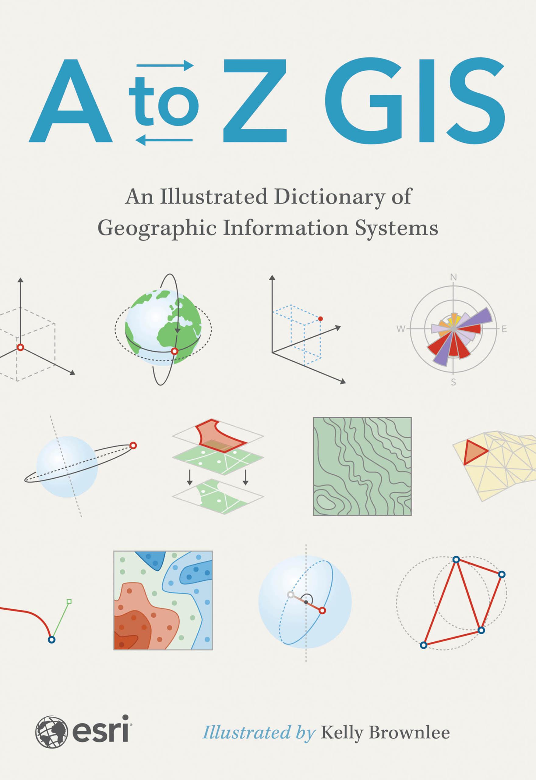
The must-have desk reference to terminology in geographic information systems (GIS).
As GIS technology has evolved and grown, so has the language of this powerful tool. Elevate your understanding of GIS with the newly updated and expanded third edition of A to Z GIS: An Illustrated Dictionary of Geographic Information Systems. With more than 1,400 new terms and nearly 400 high-quality illustrations, this popular comprehensive dictionary is essential for managers, programmers, users, writers, editors, and students discovering the interdisciplinary nature of GIS.
Written, developed, and reviewed by more than 200 subject matter experts, the fully cross-referenced dictionary is packed with nearly 3,000 terms. With clear definitions and helpful illustrations, A to Z GIS: An Illustrated Dictionary of Geographic Information Systems is a crucial resource for anyone in GIS.
Payez facilement par carte, Klarna, Apple Pay ou Google Pay. Pas satisfait ? Vous avez toujours une garantie de remboursement de 14 jours. En savoir plus dans nos conditions. Si vous avez des questions, envoyez-nous un e-mail à hello@memmo.org.
Memmo facilite tes études, où que tu sois dans le monde. On rassemble tes manuels de cours et des outils d'étude intelligents au même endroit : résumés, quiz, podcasts et flashcards. Et il y a Ted, ton compagnon d'étude qui répond à toutes tes questions. Plus de 50 000 étudiants étudient déjà ici – conçu pour t'aider à apprendre plus vite et à moins stresser.