
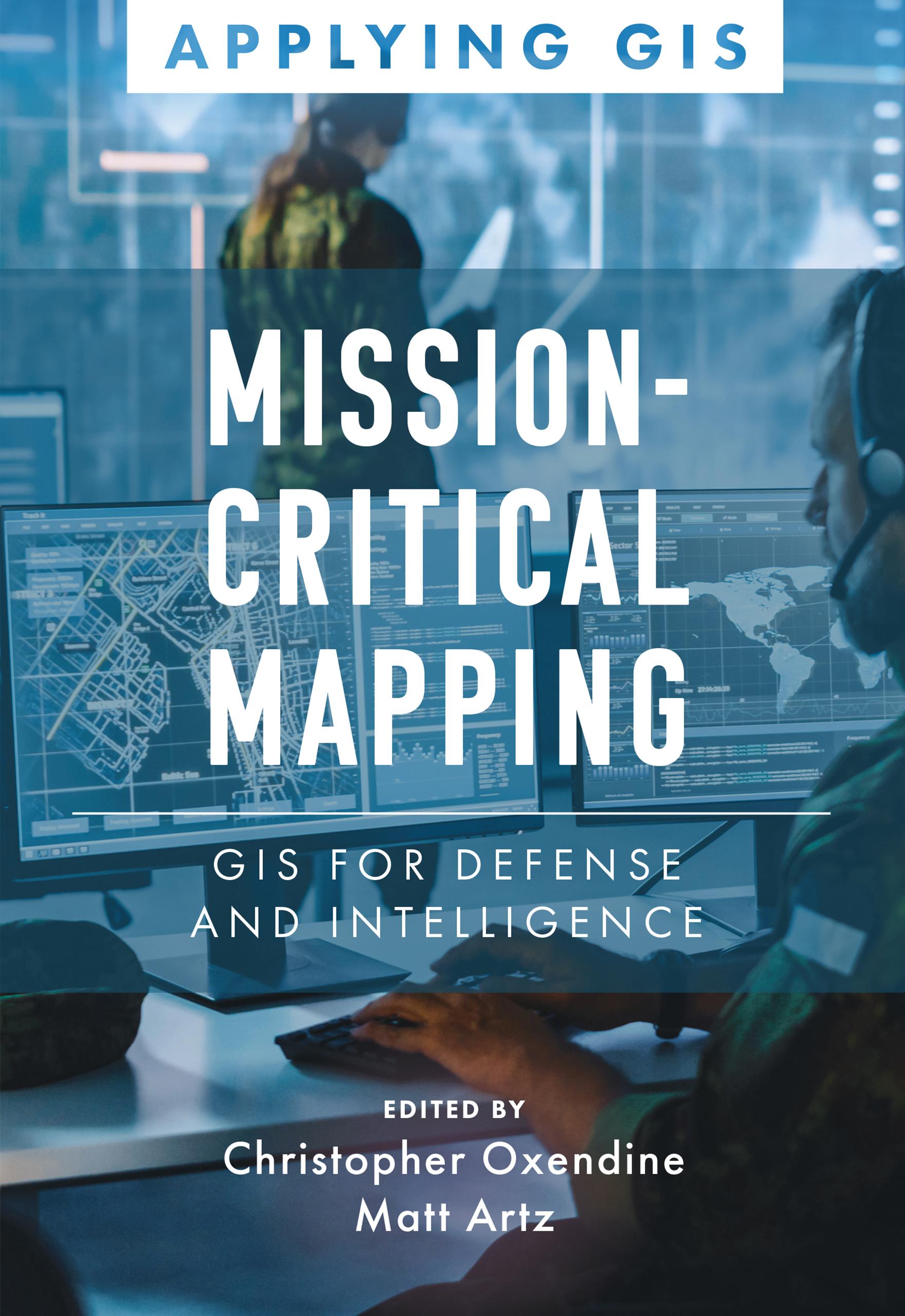
Discover a geographic approach to defense and intelligence.
Mission-Critical Mapping: GIS for Defense and Intelligence explores a collection of real-life stories about defense and intelligence organizations successfully using GIS to manage their high-stakes work.
Defense organizations use ArcGIS to enable joint all-domain operations and provide data integration, analytics, and a decision support framework for all defense functions. GIS infrastructure allows data to flow seamlessly from headquarters to the tactical edge. This data integration, analytics, and decision support framework supports the following in a dynamic information environment:
- Joint all-domain operations
- Data analysis and visualization
- Knowledge management
- Improved decision-making
Mission-Critical Mapping: GIS for Defense and Intelligence shares examples of organizations effectively using GIS to improve defense operations and readiness, intelligence collection and collaboration, and humanitarian assistance. The book also includes a section on next steps that provides ideas, strategies, tools, and actions to help jump-start your own use of GIS for defense and intelligence applications. A collection of online resources, including additional stories, videos, new ideas and concepts, and downloadable tools and content, complements this book.
Payez facilement par carte, Klarna, Apple Pay ou Google Pay. Pas satisfait ? Vous avez toujours une garantie de remboursement de 14 jours. En savoir plus dans nos conditions. Si vous avez des questions, envoyez-nous un e-mail à hello@memmo.org.
Memmo facilite tes études, où que tu sois dans le monde. On rassemble tes manuels de cours et des outils d'étude intelligents au même endroit : résumés, quiz, podcasts et flashcards. Et il y a Ted, ton compagnon d'étude qui répond à toutes tes questions. Plus de 50 000 étudiants étudient déjà ici – conçu pour t'aider à apprendre plus vite et à moins stresser.