
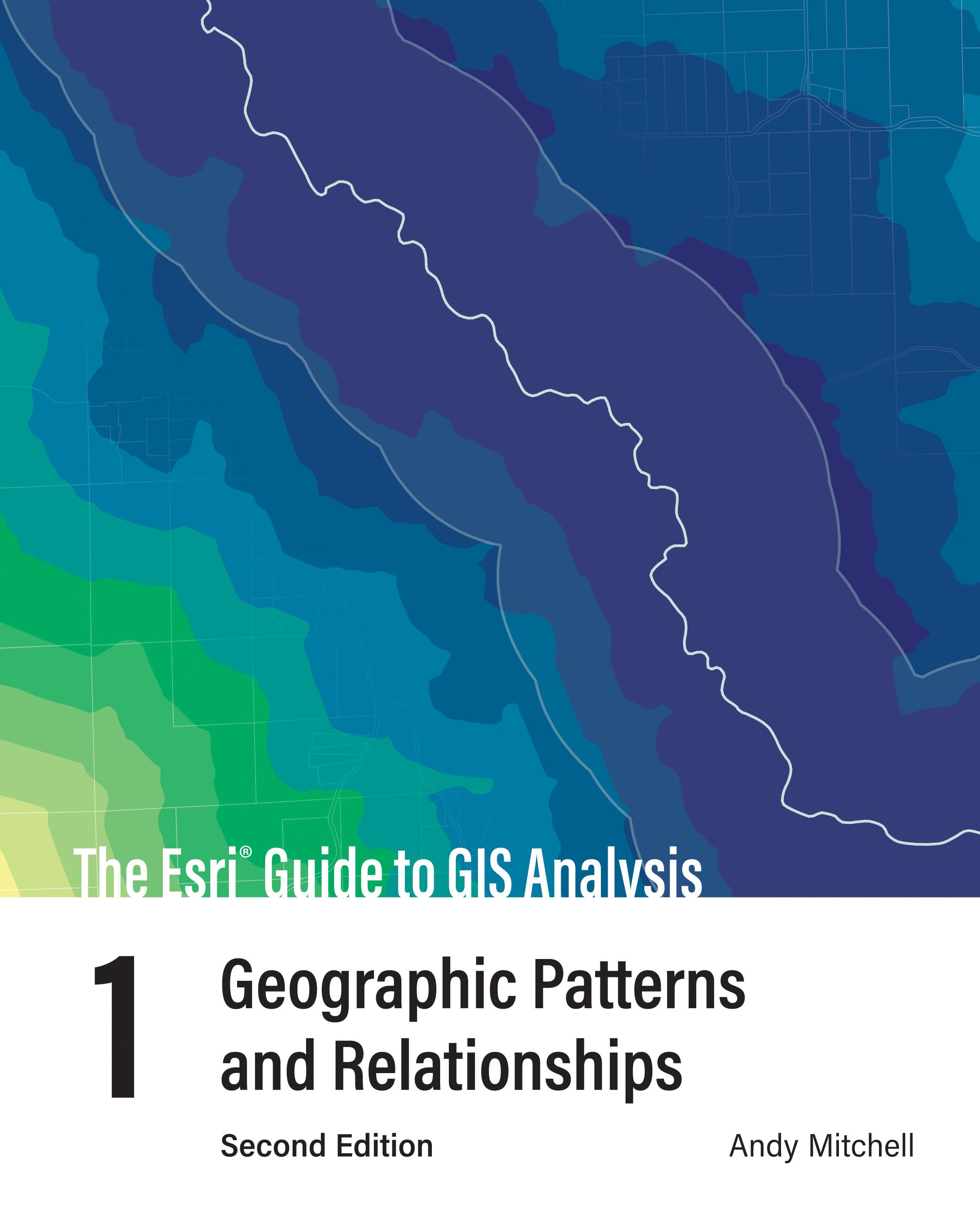
Do more with your GIS and understand the foundation of spatial analysis: geographic patterns and relationships.
A geographic information system (GIS) enables so much more than mapping. A GIS inherently enables spatial analysis that can give you a better understanding of your geographic data. GIS analysis reveals answers to questions like:
- Where is it?
- Where’s the most and least?
- How much is where?
- What’s inside?
- What’s nearby?
- What’s changed?
But how do you get started? The second edition of The Esri Guide to GIS Analysis, Volume 1 shows you how and more.
With easier to read maps and text, The Esri Guide to GIS Analysis, Volume 1, second edition, updates a classic text and teaches foundational spatial analysis patterns that provides geographic insights. Learn the basic concepts of spatial analysis and GIS. Build on that understanding with essential map-building skills to unveil and display patterns and relationships. The Esri Guide to GIS Analysis, Volume 1, second edition, also includes a guide to online lessons that reinforce the concepts and demonstrate GIS application.
Written for both new and experienced GIS users using an easy to follow format, the second edition of The Esri Guide to GIS Analysis, Volume 1 helps you build a foundation of the basic tasks needed to handle a wide range of analysis applications and prepares you for more advanced GIS skills.
Payez facilement par carte, Klarna, Apple Pay ou Google Pay. Pas satisfait ? Vous avez toujours une garantie de remboursement de 14 jours. En savoir plus dans nos conditions. Si vous avez des questions, envoyez-nous un e-mail à hello@memmo.org.
Memmo facilite tes études, où que tu sois dans le monde. On rassemble tes manuels de cours et des outils d'étude intelligents au même endroit : résumés, quiz, podcasts et flashcards. Et il y a Ted, ton compagnon d'étude qui répond à toutes tes questions. Plus de 50 000 étudiants étudient déjà ici – conçu pour t'aider à apprendre plus vite et à moins stresser.