
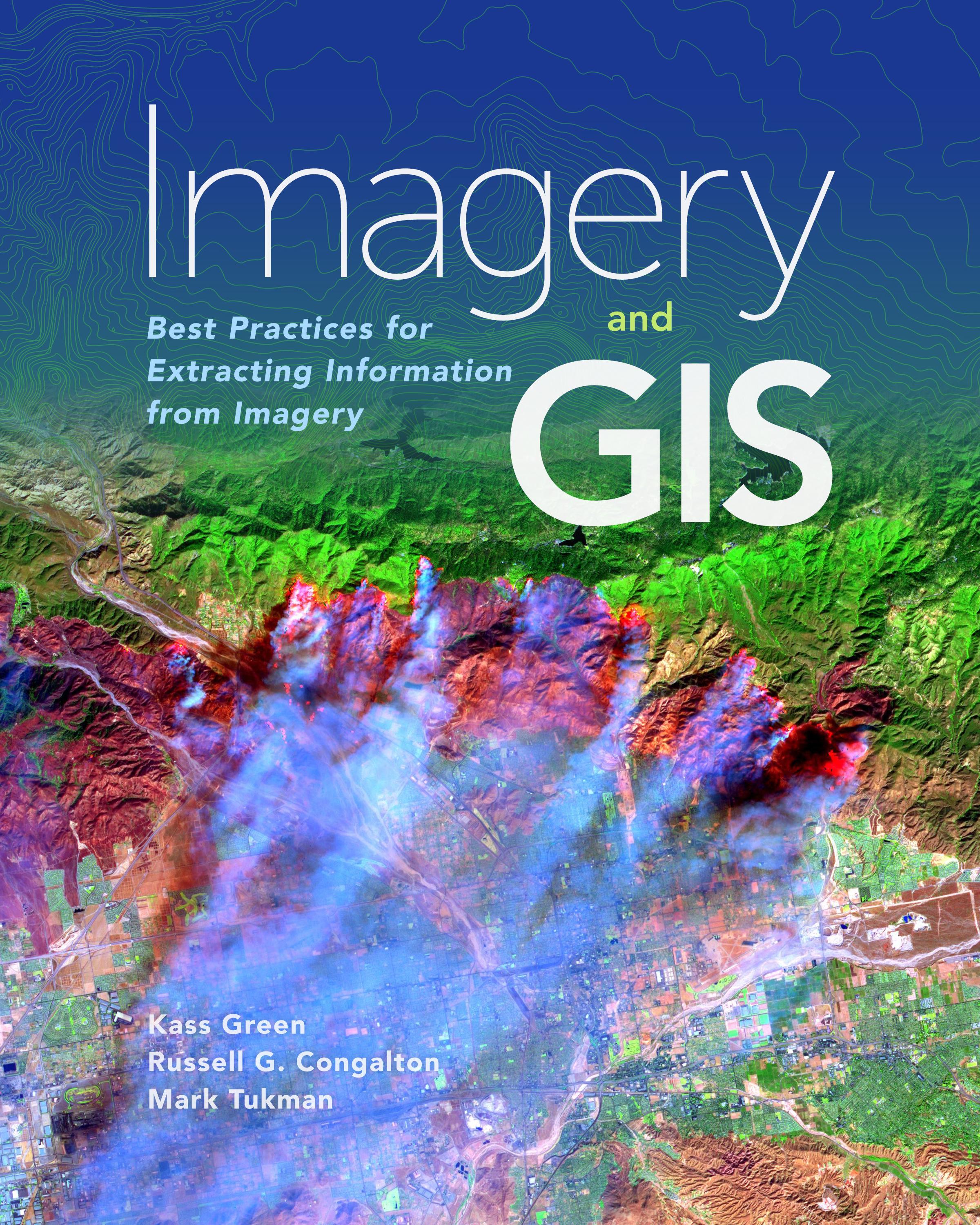
Imagery and GIS, working together, expand our perspective so that we can better perceive and understand The Science of Where™.
Today, most maps include imagery in the form of aerial photos, satellite images, thermal images, digital elevation models, and scanned maps. Imagery and GIS: Best Practices for Extracting Information from Imagery shows how imagery can be integrated successfully into GIS maps and analysis. In this essential reference, discover how imagery brings value to GIS and how GIS can be used to derive value from imagery. Learn from case studies and in-depth explanations about selecting the ‘right’ imagery, image analysis, how to efficiently manage and serve imagery datasets, and how to accurately extract information from imagery. The authors’ experience working together on numerous research, teaching, and operational remote sensing and GIS applications bestow the book with both the newest innovations, as well as proven advice.
Apply the best practices found in Imagery and GIS: Best Practices for Extracting Information from Imagery to obtain the most value from imagery in your own GIS projects.
Payez facilement par carte, Klarna, Apple Pay ou Google Pay. Pas satisfait ? Vous avez toujours une garantie de remboursement de 14 jours. En savoir plus dans nos conditions. Si vous avez des questions, envoyez-nous un e-mail à hello@memmo.org.
Memmo facilite tes études, où que tu sois dans le monde. On rassemble tes manuels de cours et des outils d'étude intelligents au même endroit : résumés, quiz, podcasts et flashcards. Et il y a Ted, ton compagnon d'étude qui répond à toutes tes questions. Plus de 50 000 étudiants étudient déjà ici – conçu pour t'aider à apprendre plus vite et à moins stresser.