
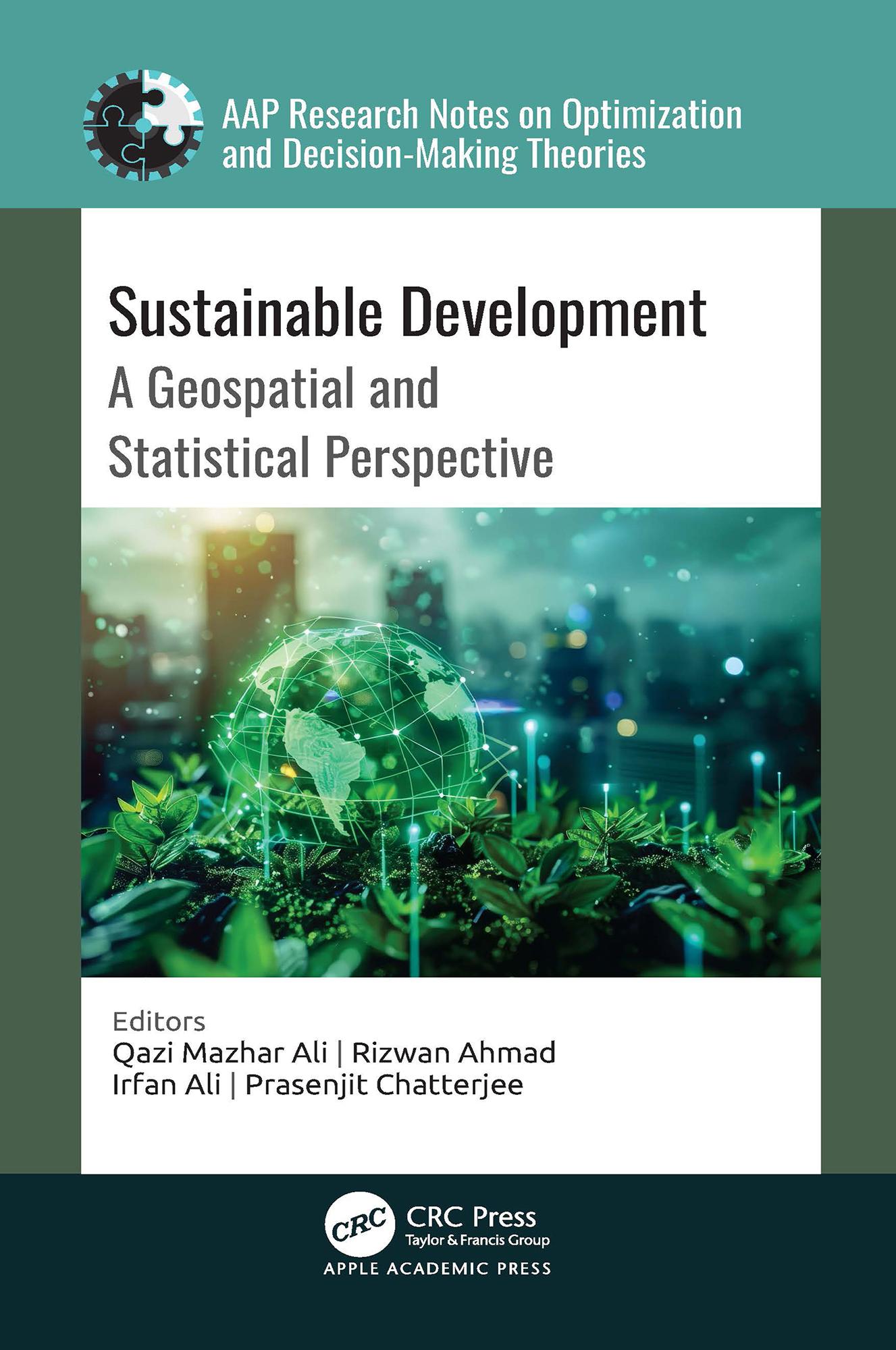
A comprehensive exploration of the intersection between the United Nations’ Sustainable Development Goals (SDGs) and geospatial technology, this new book analyzes how geospatial and statistical information, including satellite imagery, geographic information systems, remote sensing, and statistical tools and data analysis techniques, are effectively employed to assess, monitor, and facilitate sustainable development initiatives.
Payez facilement par carte, Klarna, Apple Pay ou Google Pay. Pas satisfait ? Vous avez toujours une garantie de remboursement de 14 jours. En savoir plus dans nos conditions. Si vous avez des questions, envoyez-nous un e-mail à hello@memmo.org.
Memmo facilite tes études, où que tu sois dans le monde. On rassemble tes manuels de cours et des outils d'étude intelligents au même endroit : résumés, quiz, podcasts et flashcards. Et il y a Ted, ton compagnon d'étude qui répond à toutes tes questions. Plus de 50 000 étudiants étudient déjà ici – conçu pour t'aider à apprendre plus vite et à moins stresser.