
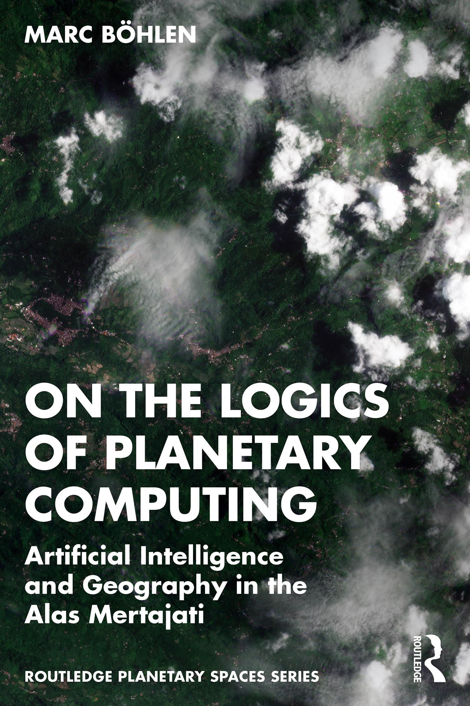
A new breed of low Earth orbit satellites is making planetary-scale observation and analysis ubiquitous. This book explores how this condition feeds spatially explicit artificial intelligence, GeoAI, in redefining the study of landscapes, and how it impacts one particular land dispute in the Alas Mertajati in Central Bali, Indonesia.
This book combines scholarship from the humanities and engineering to forge a novel way of presenting planetary computing in its GeoAI vernacular. From data collection to model evaluation, the book describes how multi-spectral, high-resolution satellite data and machine learning algorithms respond to uncommon land cover conditions, including sustainable land care practices such as agroforestry while contextualizing the operations within science and media studies. Together with the installation logics-of-geoai.org, this book offers full-spectrum immersion into the unstable nexus of geography and artificial intelligence.
This book will be of interest to any experimental artist, social scientist, curious AI engineer, or a free-range scholar. It will likewise appeal to students and scholars of science technology studies, media studies, geography, and ethnography.
Payez facilement par carte, Klarna, Apple Pay ou Google Pay. Pas satisfait ? Vous avez toujours une garantie de remboursement de 14 jours. En savoir plus dans nos conditions. Si vous avez des questions, envoyez-nous un e-mail à hello@memmo.org.
Memmo facilite tes études, où que tu sois dans le monde. On rassemble tes manuels de cours et des outils d'étude intelligents au même endroit : résumés, quiz, podcasts et flashcards. Et il y a Ted, ton compagnon d'étude qui répond à toutes tes questions. Plus de 50 000 étudiants étudient déjà ici – conçu pour t'aider à apprendre plus vite et à moins stresser.