
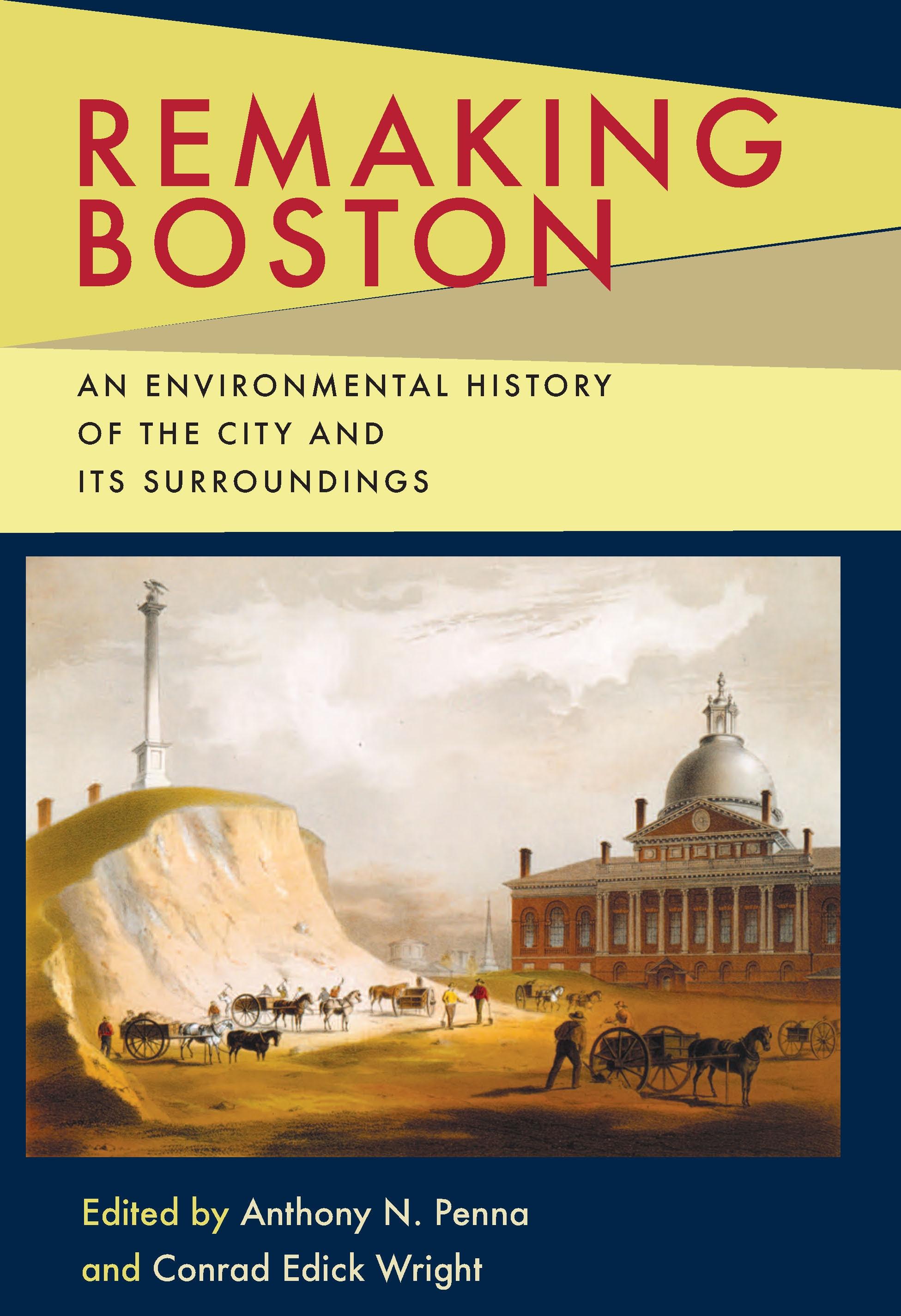
Since its settlement in 1630, Boston, its harbor, and outlying regions have witnessed a monumental transformation at the hands of humans and by nature. Remaking Boston chronicles many of the events that altered the physical landscape of Boston, while also offering multidisciplinary perspectives on the environmental history of one of America's oldest and largest metropolitan areas.
Situated on an isthmus, and blessed with a natural deepwater harbor and ocean access, Boston became an important early trade hub with Europe and the world. As its population and economy grew, developers extended the city's shoreline into the surrounding tidal mudflats to create more useable land. Further expansion of the city was achieved through the annexation of surrounding communities, and the burgeoning population and economy spread to outlying areas. The interconnection of city and suburb opened the floodgates to increased commerce, services and workforces, while also leaving a wake of roads, rails, bridges, buildings, deforestation, and pollution.
Profiling this ever-changing environment, the contributors tackle a variety of topics, including: the glacial formation of the region; physical characteristics and composition of the land and harbor; dredging, sea walling, flattening, and landfill operations in the reshaping of the Shawmut Peninsula; the longstanding controversy over the link between landfills and shoaling in shipping channels; population movements between the city and suburbs and their environmental implications; interdependence of the city and its suburbs; preservation and reclamation of the Charles River; suburban deforestation and later reforestation as byproducts of changing land use; the planned outlay of parks and parkways; and historic climate changes and the human and biological adaptations to them.
Situated on an isthmus, and blessed with a natural deepwater harbor and ocean access, Boston became an important early trade hub with Europe and the world. As its population and economy grew, developers extended the city's shoreline into the surrounding tidal mudflats to create more useable land. Further expansion of the city was achieved through the annexation of surrounding communities, and the burgeoning population and economy spread to outlying areas. The interconnection of city and suburb opened the floodgates to increased commerce, services and workforces, while also leaving a wake of roads, rails, bridges, buildings, deforestation, and pollution.
Profiling this ever-changing environment, the contributors tackle a variety of topics, including: the glacial formation of the region; physical characteristics and composition of the land and harbor; dredging, sea walling, flattening, and landfill operations in the reshaping of the Shawmut Peninsula; the longstanding controversy over the link between landfills and shoaling in shipping channels; population movements between the city and suburbs and their environmental implications; interdependence of the city and its suburbs; preservation and reclamation of the Charles River; suburban deforestation and later reforestation as byproducts of changing land use; the planned outlay of parks and parkways; and historic climate changes and the human and biological adaptations to them.
Catégorie: Arkitektur & Stadsplanering
e-ISBN: 9780822977681
Payez facilement par carte, Klarna, Apple Pay ou Google Pay. Pas satisfait ? Vous avez toujours une garantie de remboursement de 14 jours. En savoir plus dans nos conditions. Si vous avez des questions, envoyez-nous un e-mail à hello@memmo.org.
Memmo facilite tes études, où que tu sois dans le monde. On rassemble tes manuels de cours et des outils d'étude intelligents au même endroit : résumés, quiz, podcasts et flashcards. Et il y a Ted, ton compagnon d'étude qui répond à toutes tes questions. Plus de 50 000 étudiants étudient déjà ici – conçu pour t'aider à apprendre plus vite et à moins stresser.
Tu pourrais aussi aimer
Acheter le livre0