
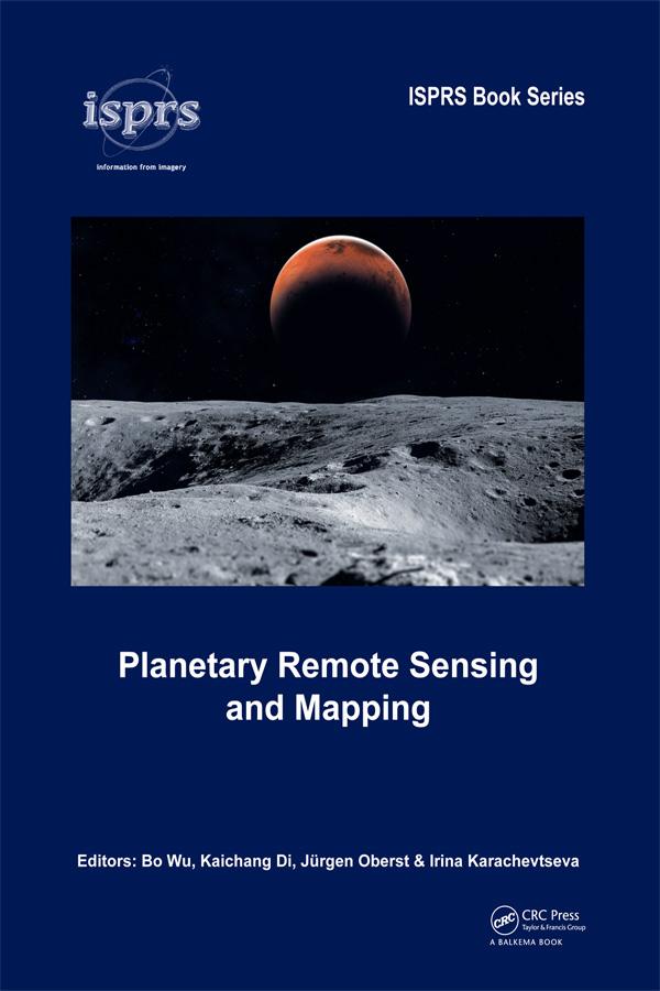
The early 21st century marks a new era in space exploration. The National Aeronautics and Space Administration (NASA) of the United States, The European Space Agency (ESA), as well as space agencies of Japan, China, India, and other countries have sent their probes to the Moon, Mars, and other planets in the solar system. Planetary Remote Sensing and Mapping introduces original research and new developments in the areas of planetary remote sensing, photogrammetry, mapping, GIS, and planetary science resulting from the recent space exploration missions.
Topics covered include:
- Reference systems of planetary bodies
- Planetary exploration missions and sensors
- Geometric information extraction from planetary remote sensing data
- Feature information extraction from planetary remote sensing data
- Planetary remote sensing data fusion
- Planetary data management and presentation
Planetary Remote Sensing and Mapping will serve scientists and professionals working in the planetary remote sensing and mapping areas, as well as planetary probe designers, engineers, and planetary geologists and geophysicists. It also provides useful reading material for university teachers and students in the broader areas of remote sensing, photogrammetry, cartography, GIS, and geodesy.
Payez facilement par carte, Klarna, Apple Pay ou Google Pay. Pas satisfait ? Vous avez toujours une garantie de remboursement de 14 jours. En savoir plus dans nos conditions. Si vous avez des questions, envoyez-nous un e-mail à hello@memmo.org.
Memmo facilite tes études, où que tu sois dans le monde. On rassemble tes manuels de cours et des outils d'étude intelligents au même endroit : résumés, quiz, podcasts et flashcards. Et il y a Ted, ton compagnon d'étude qui répond à toutes tes questions. Plus de 50 000 étudiants étudient déjà ici – conçu pour t'aider à apprendre plus vite et à moins stresser.