
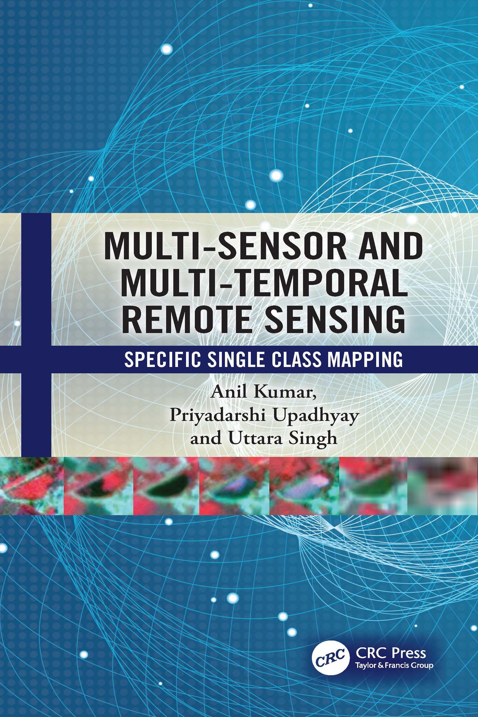
This book elaborates fuzzy machine and deep learning models for single class mapping from multi-sensor, multi-temporal remote sensing images while handling mixed pixels and noise. It also covers the ways of pre-processing and spectral dimensionality reduction of temporal data. Further, it discusses the ‘individual sample as mean’ training approach to handle heterogeneity within a class. The appendix section of the book includes case studies such as mapping crop type, forest species, and stubble burnt paddy fields.
Key features:
- Focuses on use of multi-sensor, multi-temporal data while handling spectral overlap between classes
- Discusses range of fuzzy/deep learning models capable to extract specific single class and separates noise
- Describes pre-processing while using spectral, textural, CBSI indices, and back scatter coefficient/Radar Vegetation Index (RVI)
- Discusses the role of training data to handle the heterogeneity within a class
- Supports multi-sensor and multi-temporal data processing through in-house SMIC software
- Includes case studies and practical applications for single class mapping
This book is intended for graduate/postgraduate students, research scholars, and professionals working in environmental, geography, computer sciences, remote sensing, geoinformatics, forestry, agriculture, post-disaster, urban transition studies, and other related areas.
Pay easily by card, Klarna, Apple Pay or Google Pay. Not happy? You always have a 14-day money-back guarantee. Read more in our terms. If you have any questions, email us at hello@memmo.org.
Memmo makes studying easier – wherever you are in the world. We bring your course books and smart study tools together in one place: summaries, quizzes, podcasts and flashcards. Plus Ted, your study buddy who answers anything you wonder. Over 50,000 students already study here – built to help you learn faster and stress less.