
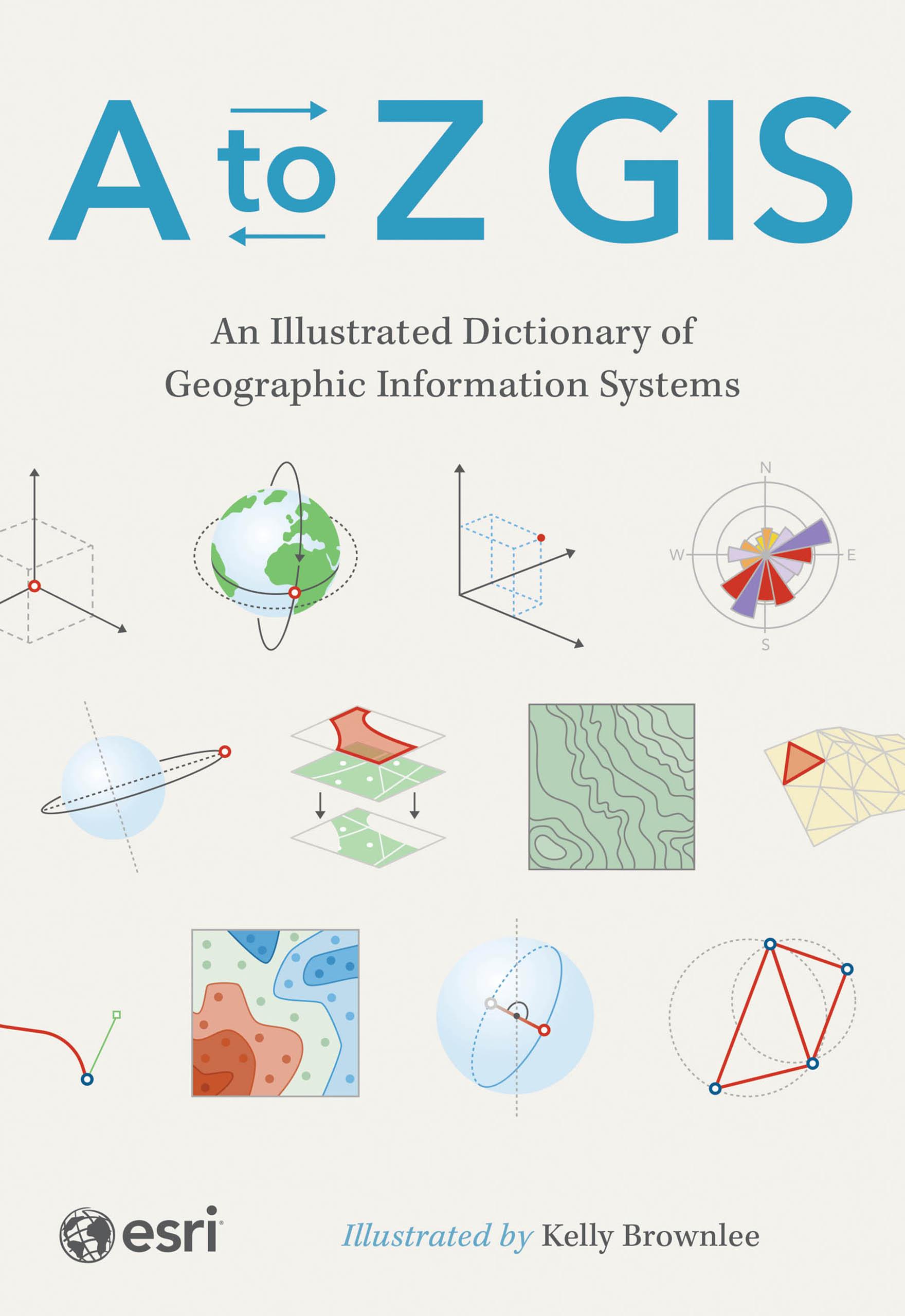
The must-have desk reference to terminology in geographic information systems (GIS).
As GIS technology has evolved and grown, so has the language of this powerful tool. Elevate your understanding of GIS with the newly updated and expanded third edition of A to Z GIS: An Illustrated Dictionary of Geographic Information Systems. With more than 1,400 new terms and nearly 400 high-quality illustrations, this popular comprehensive dictionary is essential for managers, programmers, users, writers, editors, and students discovering the interdisciplinary nature of GIS.
Written, developed, and reviewed by more than 200 subject matter experts, the fully cross-referenced dictionary is packed with nearly 3,000 terms. With clear definitions and helpful illustrations, A to Z GIS: An Illustrated Dictionary of Geographic Information Systems is a crucial resource for anyone in GIS.
Betal enkelt med kort, Klarna, Apple Pay eller Google Pay. Ikke fornøyd? Du har alltid 14 dagers angrerett. Les mer i våre vilkår. Har du spørsmål, send oss en e-post på hello@memmo.org.
Memmo gjør det enklere å studere – uansett hvor du er i verden. Hos oss samler du pensumbøker og smarte studieverktøy på ett og samme sted: sammendrag, quizer, podkaster og flashcards. Og så Ted, din studiekompis som svarer på alt du lurer på. Over 50 000 studenter studerer allerede her – bygget for at du skal lære raskere og stresse mindre.