
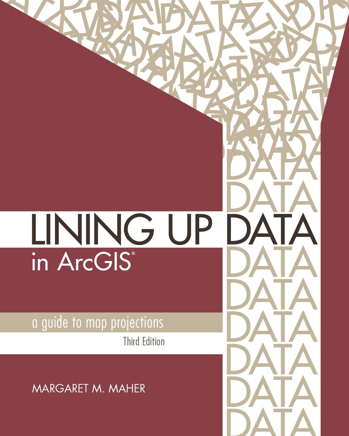
Lining Up Data in ArcGIS: A Guide to Map Projections is an easy-to-navigate, troubleshooting reference for any GIS user with the common problem of data misalignment. Completely updated with full-color maps and diagrams from ArcGIS Desktop 10.6 but still compatible with ArcGIS Desktop 10.1 and higher, this book presents practical techniques for identifying data projections and creating custom projections to align data. Formatted for practical use, each chapter can stand alone to address specific issues related to working with coordinate systems. With an added chapter on vertical coordinate systems, plus a newly available data download, the third edition of Lining Up Data will benefit new and experienced users alike.
Betal enkelt med kort, Klarna, Apple Pay eller Google Pay. Ikke fornøyd? Du har alltid 14 dagers angrerett. Les mer i våre vilkår. Har du spørsmål, send oss en e-post på hello@memmo.org.
Memmo gjør det enklere å studere – uansett hvor du er i verden. Hos oss samler du pensumbøker og smarte studieverktøy på ett og samme sted: sammendrag, quizer, podkaster og flashcards. Og så Ted, din studiekompis som svarer på alt du lurer på. Over 50 000 studenter studerer allerede her – bygget for at du skal lære raskere og stresse mindre.