
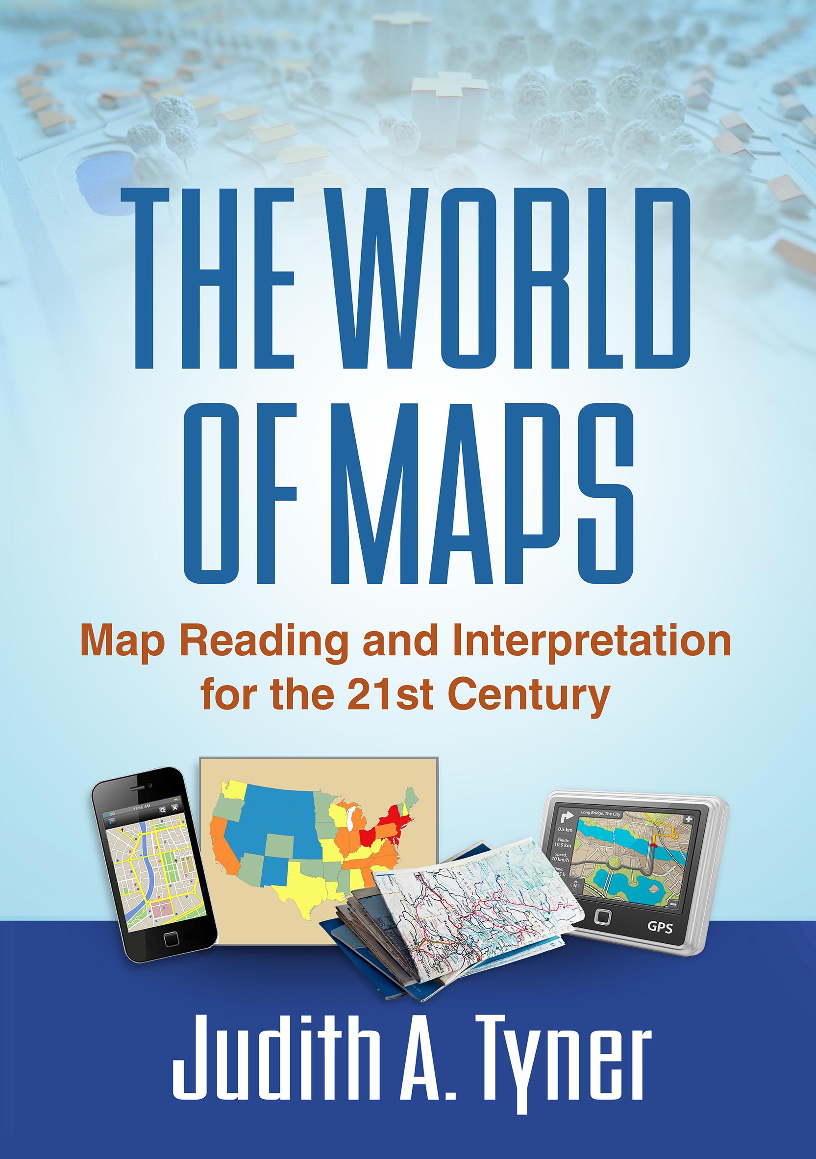
Maps have power--they can instruct, make life easier, mislead, or even lie. This engaging text provides the tools to read, analyze, and use any kind of map and assess its strengths and weaknesses. Requiring no advanced math skills, the book presents basic concepts of symbolization, scale, coordinate systems, and projections. It gives students a deeper understanding of the types of maps they encounter every day, from turn-by-turn driving directions to the TV weather report. Readers also learn how to use multiple maps and imagery to analyze an area or region. The book includes 168 figures, among them 22 color plates; most of the figures can be downloaded as PowerPoint slides from the companion website. Appendices contain a glossary, recommended resources, a table of commonly used projections, and more.
Betal enkelt med kort, Klarna, Apple Pay eller Google Pay. Ikke fornøyd? Du har alltid 14 dagers angrerett. Les mer i våre vilkår. Har du spørsmål, send oss en e-post på hello@memmo.org.
Memmo gjør det enklere å studere – uansett hvor du er i verden. Hos oss samler du pensumbøker og smarte studieverktøy på ett og samme sted: sammendrag, quizer, podkaster og flashcards. Og så Ted, din studiekompis som svarer på alt du lurer på. Over 50 000 studenter studerer allerede her – bygget for at du skal lære raskere og stresse mindre.
Du vil kanskje også like
Kjøp boken0