
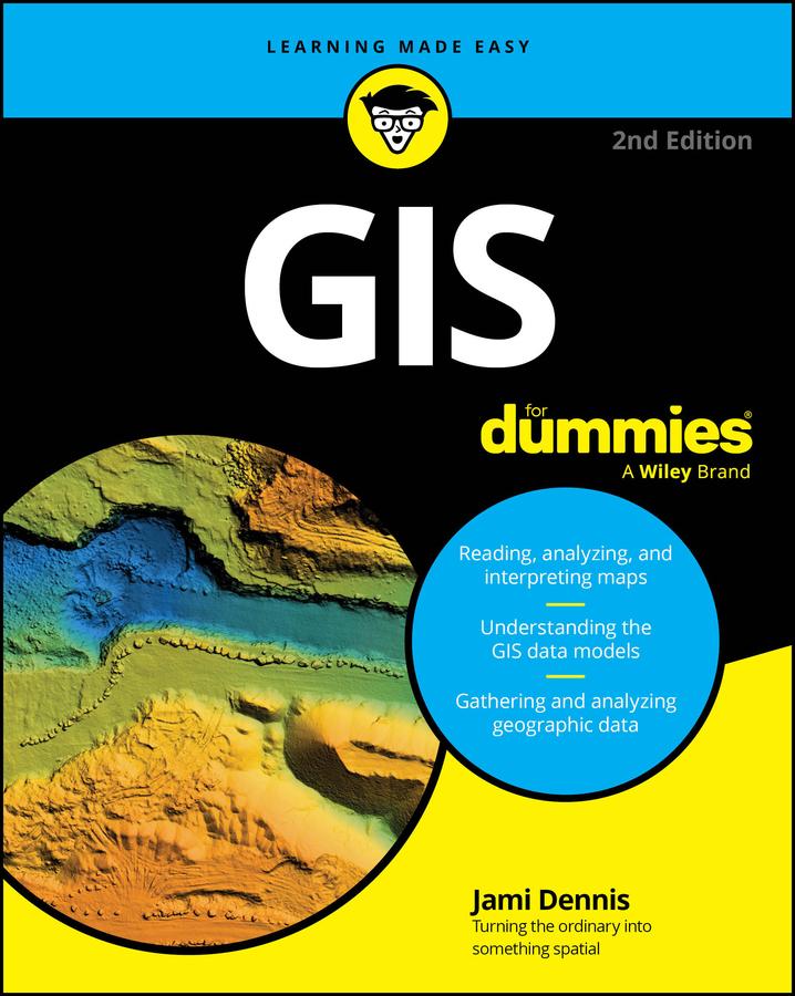
A jargon-free primer on GIS concepts and the essential tech tools
Geographic Information Systems (GIS) is the fascinating technology field that's all about understanding and visualizing our world. GIS For Dummies introduces you to the essential skills you'll need if you want to become a geospatial data guru. You'll learn to read, analyze, and interpret maps, and you'll discover how GIS professionals create digital models of landscapes, cities, weather patterns, and beyond. Understand how advances in technology, including AI, are turning GIS tools into powerful assets for solving real-world problems and protecting the planet. This beginner-friendly book makes it easy to grasp necessary GIS concepts so you can apply GIS in your organization, pursue a career in this dynamic field, or just impress others with your geographic knowledge.
- Learn the basics of data analysis, interpretation, and modeling using Geographic Information Systems
- Gain the skills to read and interpret all types of maps and visual GIS information
- Discover how GIS is used in fields like urban planning, environmental science, business, and disaster management
- Explore whether a career in GIS could be right for you
GIS For Dummies is the perfect starting point for students, professionals, and anyone curious about the potential of GIS as a technology or career choice.
Betal enkelt med kort, Klarna, Apple Pay eller Google Pay. Ikke fornøyd? Du har alltid 14 dagers angrerett. Les mer i våre vilkår. Har du spørsmål, send oss en e-post på hello@memmo.org.
Memmo gjør det enklere å studere – uansett hvor du er i verden. Hos oss samler du pensumbøker og smarte studieverktøy på ett og samme sted: sammendrag, quizer, podkaster og flashcards. Og så Ted, din studiekompis som svarer på alt du lurer på. Over 50 000 studenter studerer allerede her – bygget for at du skal lære raskere og stresse mindre.