
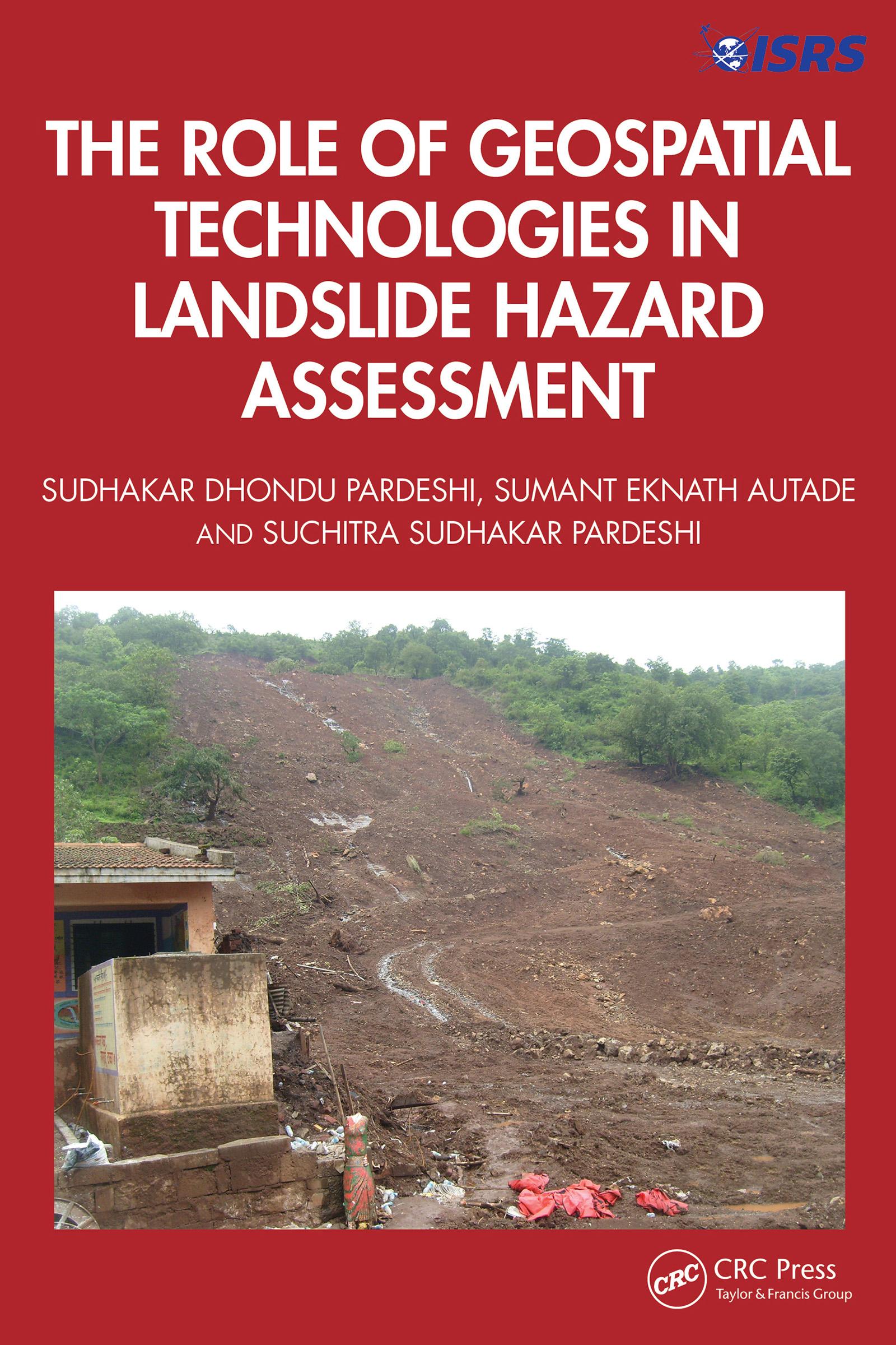
This book is designed to provide a detailed, methodological framework for landslide hazard assessment. The focus is on various dimensions of landslide hazard assessment, including the terminologies used in landslide hazard analysis and landslide inventory systems used globally and their relevance in generating a complete and reliable landslide database for further analysis, supported by global case studies. It includes an overview of the methodological developments in landslide hazard assessment and role of geospatial technologies in landslide studies.
Features:
- Helps readers to understand the technical details of geospatial techniques applied in hazard management.
- Deals with the practicalities of how to recognise and classify unstable terrain.
- Covers recent advances in landslide estimation, particularly the automated means of landslide susceptibility estimation.
- Explores methodological frameworks of landslide hazard assessment.
- Illustrates case studies from the United States, Europe, and Asia, including demonstrations of different methodologies of landslide susceptibility zonation.
This book is aimed at researchers, graduate students, and libraries in geotechnical and environmental engineering.
Betal enkelt med kort, Klarna, Apple Pay eller Google Pay. Ikke fornøyd? Du har alltid 14 dagers angrerett. Les mer i våre vilkår. Har du spørsmål, send oss en e-post på hello@memmo.org.
Memmo gjør det enklere å studere – uansett hvor du er i verden. Hos oss samler du pensumbøker og smarte studieverktøy på ett og samme sted: sammendrag, quizer, podkaster og flashcards. Og så Ted, din studiekompis som svarer på alt du lurer på. Over 50 000 studenter studerer allerede her – bygget for at du skal lære raskere og stresse mindre.