
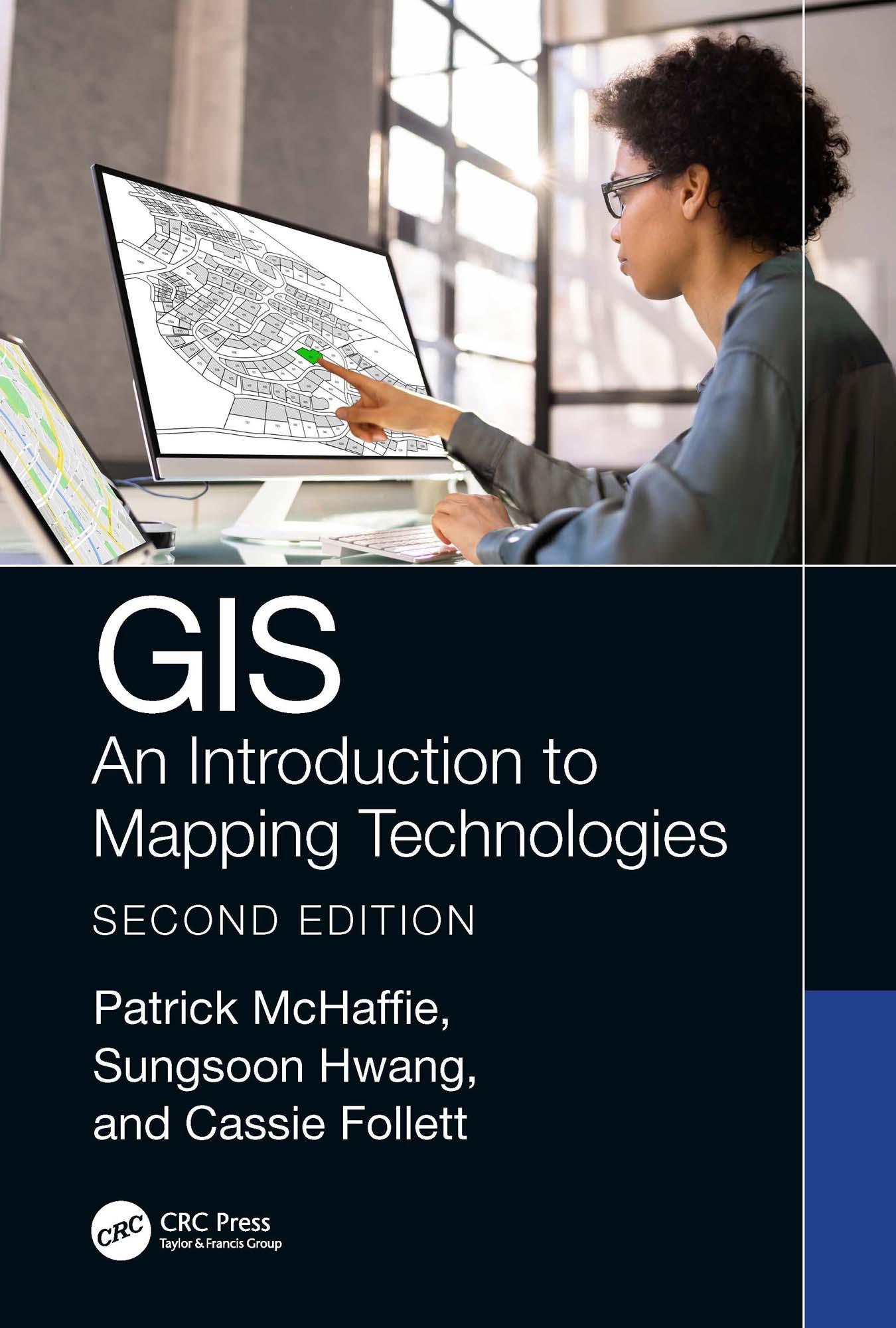
The second edition of this introductory GIS textbook is thoroughly rewritten and updated to respond to the demand for critical engagement with technologies that address relevant issues across several disciplines preparing students for higher-level work in geotechnologies. Chapters are arranged to (1) build competence in fundamental skills, (2) explore applications of higher-level managerial and analytical functions that are typically called upon in public, nonprofit, and private sector milieu, and (3) propose and detail a template for organizing, executing, and completing a GIS project successfully. This interests all users from beginners to experienced professionals.
Features:
- Uses the latest version of ArcGIS Pro (3.0) to present a fully rewritten and updated text with diverse perspectives.
- Includes many real-world examples with urban planning, environmental, and social justice foci.
- Presents new discussions, examples, and lab materials on open-source GIS projects.
- Includes lab activities and data available for download from Support Materials.
Junior and senior level undergraduate students taking courses in remote sensing and GIS applications, studying in the fields of Geography, Environmental Sciences, Computer Science, Urban Studies, Public Health, and Social Disciplines, as well as researchers and academics in the same fields, will all benefit from the information provided in the updated version of this book.
Betal enkelt med kort, Klarna, Apple Pay eller Google Pay. Ikke fornøyd? Du har alltid 14 dagers angrerett. Les mer i våre vilkår. Har du spørsmål, send oss en e-post på hello@memmo.org.
Memmo gjør det enklere å studere – uansett hvor du er i verden. Hos oss samler du pensumbøker og smarte studieverktøy på ett og samme sted: sammendrag, quizer, podkaster og flashcards. Og så Ted, din studiekompis som svarer på alt du lurer på. Over 50 000 studenter studerer allerede her – bygget for at du skal lære raskere og stresse mindre.