
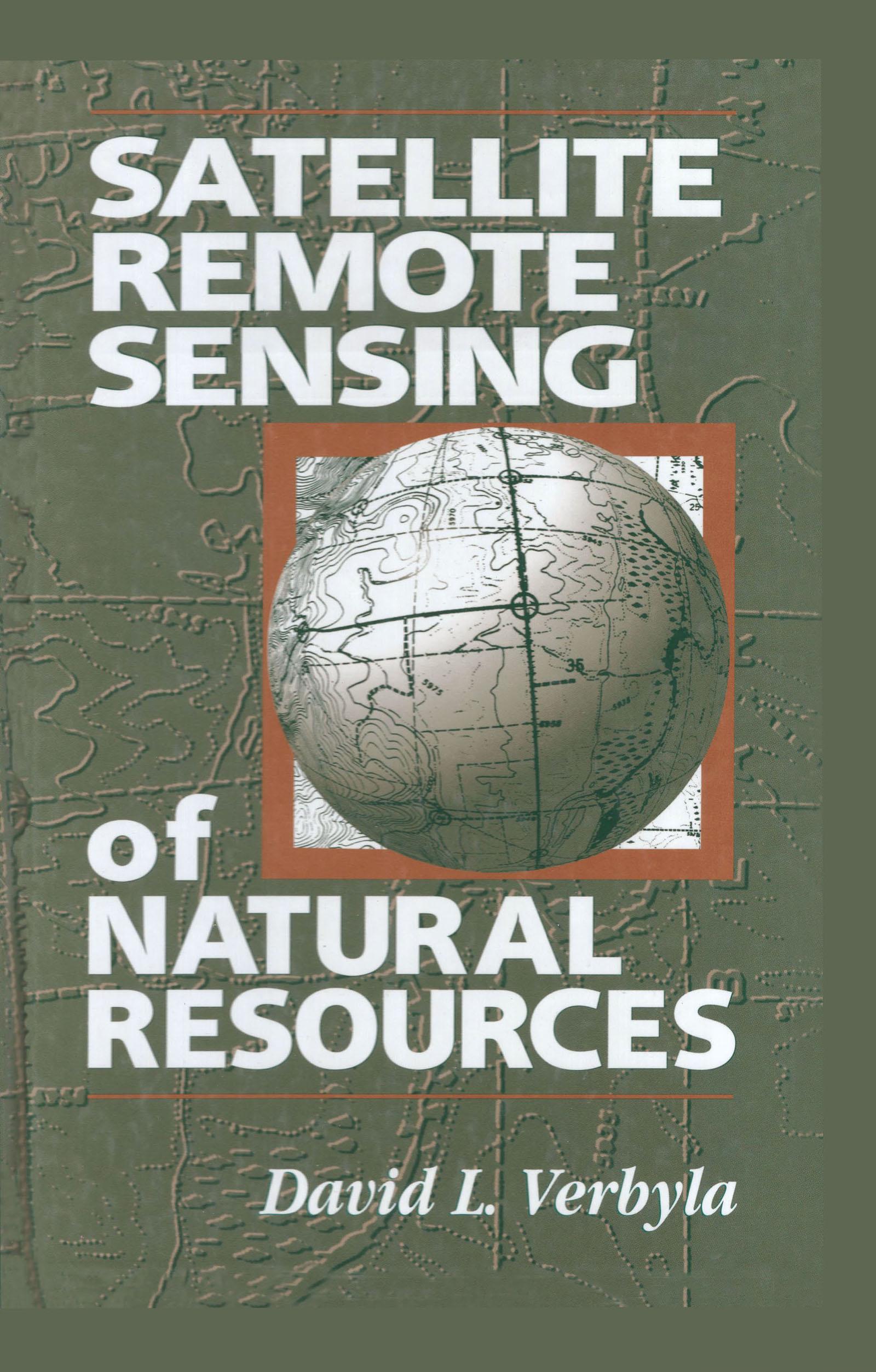
Satellite Remote Sensing of Natural Resources offers an introduction to digital remote sensing. This comprehensive text emphasizes the basics, with simple concepts presented in clear, easy-to-understand language. For those who are interested in practical remote sensing but do not have an extensive background in math and statistics, this primer is invaluable. The main topics covered include satellite images, image processing systems, spectral regions, radiometric and geometric corrections, supervised and unsupervised classification, and accuracy assessment. Each chapter concludes with a section of sample problems and list of additional readings.
Betal enkelt med kort, Klarna, Apple Pay eller Google Pay. Ikke fornøyd? Du har alltid 14 dagers angrerett. Les mer i våre vilkår. Har du spørsmål, send oss en e-post på hello@memmo.org.
Memmo gjør det enklere å studere – uansett hvor du er i verden. Hos oss samler du pensumbøker og smarte studieverktøy på ett og samme sted: sammendrag, quizer, podkaster og flashcards. Og så Ted, din studiekompis som svarer på alt du lurer på. Over 50 000 studenter studerer allerede her – bygget for at du skal lære raskere og stresse mindre.
Du vil kanskje også like
Kjøp boken0