
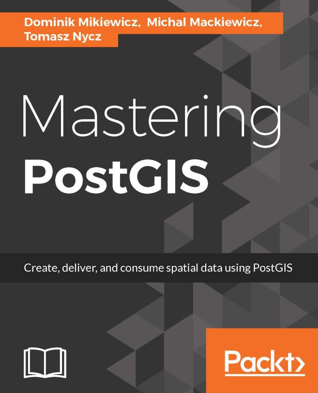
PostGIS is open source extension onf PostgreSQL object-relational database system that allows GIS objects to be stored and allows querying for information and location services. The aim of this book is to help you master the functionalities offered by PostGIS- from data creation, analysis and output, to ETL and live edits.
The book begins with an overview of the key concepts related to spatial database systems and how it applies to Spatial RMDS. You will learn to load different formats into your Postgres instance, investigate the spatial nature of your raster data, and finally export it using built-in functionalities or 3th party tools for backup or representational purposes.
Through the course of this book, you will be presented with many examples on how to interact with the database using JavaScript and Node.js. Sample web-based applications interacting with backend PostGIS will also be presented throughout the book, so you can get comfortable with the modern ways of consuming and modifying your spatial data.
Maksa helposti kortilla, Klarnalla, Apple Paylla tai Google Paylla. Etkö ole tyytyväinen? Sinulla on aina 14 päivän palautusoikeus. Lue lisää ehdoistamme. Jos sinulla on kysyttävää, lähetä meille sähköpostia osoitteeseen hello@memmo.org.
Memmo tekee opiskelusta helpompaa – missä päin maailmaa ikinä oletkin. Meillä yhdistät kurssikirjat ja fiksut opiskelutyökalut yhteen paikkaan: tiivistelmät, visat, podcastit ja muistikortit. Ja sitten Ted, opiskelukaverisi, joka vastaa kaikkeen, mitä ikinä mietitkin. Yli 50 000 opiskelijaa opiskelee jo täällä – rakennettu auttamaan sinua oppimaan nopeammin ja stressaamaan vähemmän.