
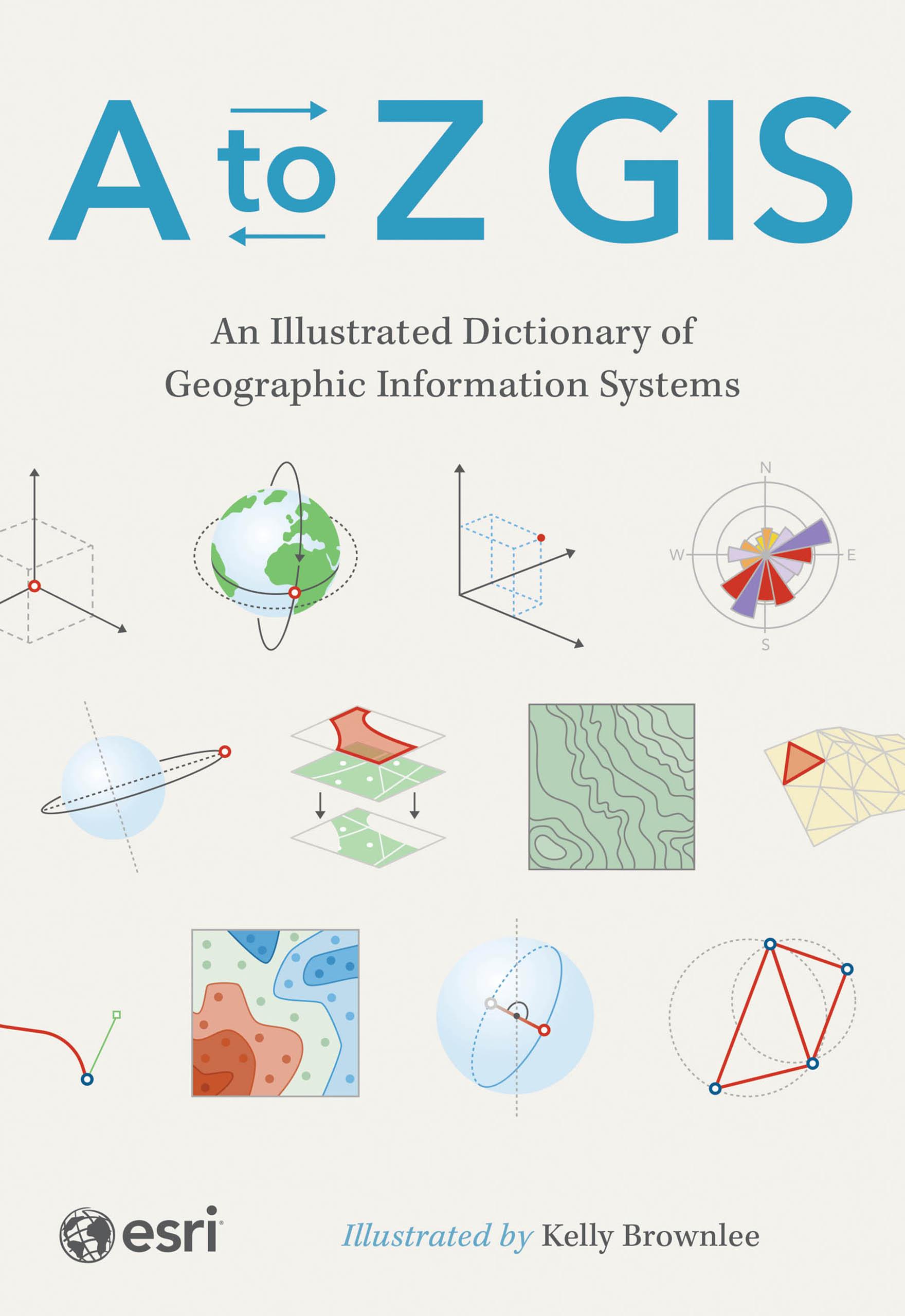
The must-have desk reference to terminology in geographic information systems (GIS).
As GIS technology has evolved and grown, so has the language of this powerful tool. Elevate your understanding of GIS with the newly updated and expanded third edition of A to Z GIS: An Illustrated Dictionary of Geographic Information Systems. With more than 1,400 new terms and nearly 400 high-quality illustrations, this popular comprehensive dictionary is essential for managers, programmers, users, writers, editors, and students discovering the interdisciplinary nature of GIS.
Written, developed, and reviewed by more than 200 subject matter experts, the fully cross-referenced dictionary is packed with nearly 3,000 terms. With clear definitions and helpful illustrations, A to Z GIS: An Illustrated Dictionary of Geographic Information Systems is a crucial resource for anyone in GIS.
Maksa helposti kortilla, Klarnalla, Apple Paylla tai Google Paylla. Etkö ole tyytyväinen? Sinulla on aina 14 päivän palautusoikeus. Lue lisää ehdoistamme. Jos sinulla on kysyttävää, lähetä meille sähköpostia osoitteeseen hello@memmo.org.
Memmo tekee opiskelusta helpompaa – missä päin maailmaa ikinä oletkin. Meillä yhdistät kurssikirjat ja fiksut opiskelutyökalut yhteen paikkaan: tiivistelmät, visat, podcastit ja muistikortit. Ja sitten Ted, opiskelukaverisi, joka vastaa kaikkeen, mitä ikinä mietitkin. Yli 50 000 opiskelijaa opiskelee jo täällä – rakennettu auttamaan sinua oppimaan nopeammin ja stressaamaan vähemmän.