
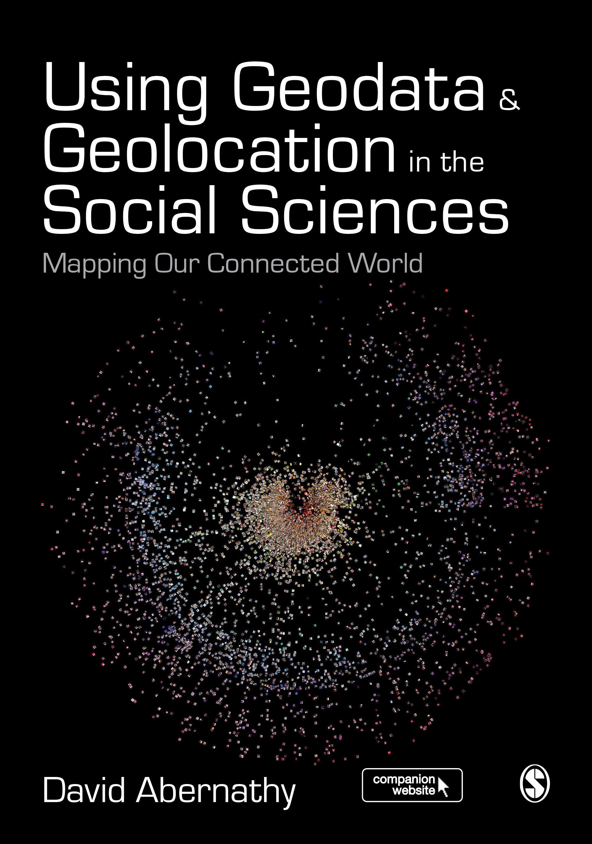
"Abernathy provides a truly accessible and interdisciplinary introduction to geodata and geolocation covering both the conceptual and the practical. It is a must read for students or researchers looking to make the most of the spatial elements of their data" - Luke Sloan, Senior Lecturer in Quantitative Methods, Cardiff University
Using Geodata and Geolocation in the Social Sciences: Mapping our Connected World provides an engaging and accessible introduction to the Geoweb with clear, step-by-step guides for:
- Capturing Geodata from sources including GPS, sensor networks and Twitter
- Visualizing Geodata using programmes including QGIS, GRASS and R
Featuring colour images, practical exercises walking you through using data sources, and a companion website packed with resources, this book is the perfect guide for students and teachers looking to incorporate location-based data into their social science research.
Maksa helposti kortilla, Klarnalla, Apple Paylla tai Google Paylla. Etkö ole tyytyväinen? Sinulla on aina 14 päivän palautusoikeus. Lue lisää ehdoistamme. Jos sinulla on kysyttävää, lähetä meille sähköpostia osoitteeseen hello@memmo.org.
Memmo tekee opiskelusta helpompaa – missä päin maailmaa ikinä oletkin. Meillä yhdistät kurssikirjat ja fiksut opiskelutyökalut yhteen paikkaan: tiivistelmät, visat, podcastit ja muistikortit. Ja sitten Ted, opiskelukaverisi, joka vastaa kaikkeen, mitä ikinä mietitkin. Yli 50 000 opiskelijaa opiskelee jo täällä – rakennettu auttamaan sinua oppimaan nopeammin ja stressaamaan vähemmän.