
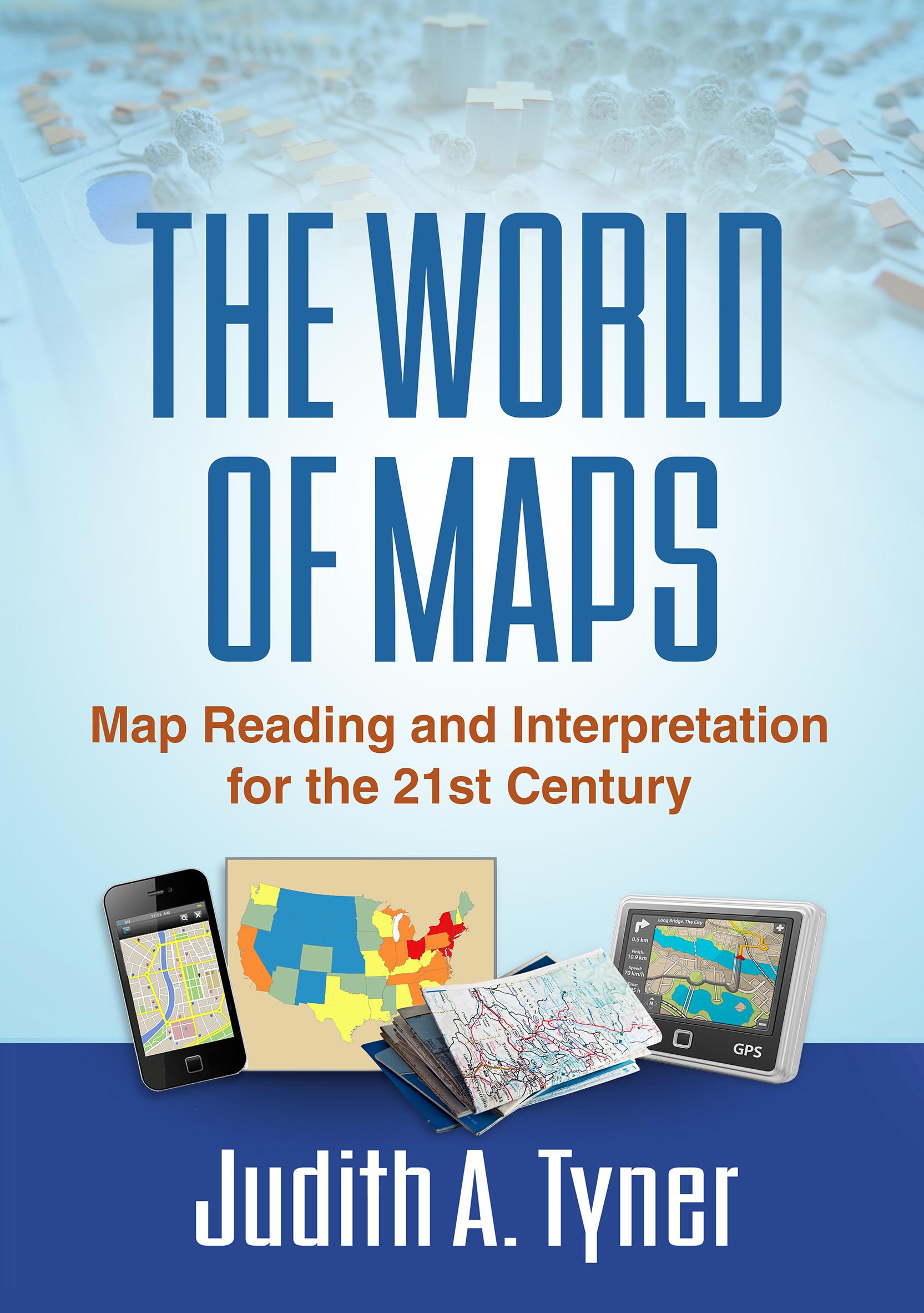
Maps have power--they can instruct, make life easier, mislead, or even lie. This engaging text provides the tools to read, analyze, and use any kind of map and assess its strengths and weaknesses. Requiring no advanced math skills, the book presents basic concepts of symbolization, scale, coordinate systems, and projections. It gives students a deeper understanding of the types of maps they encounter every day, from turn-by-turn driving directions to the TV weather report. Readers also learn how to use multiple maps and imagery to analyze an area or region. The book includes 168 figures, among them 22 color plates; most of the figures can be downloaded as PowerPoint slides from the companion website. Appendices contain a glossary, recommended resources, a table of commonly used projections, and more.
Maksa helposti kortilla, Klarnalla, Apple Paylla tai Google Paylla. Etkö ole tyytyväinen? Sinulla on aina 14 päivän palautusoikeus. Lue lisää ehdoistamme. Jos sinulla on kysyttävää, lähetä meille sähköpostia osoitteeseen hello@memmo.org.
Memmo tekee opiskelusta helpompaa – missä päin maailmaa ikinä oletkin. Meillä yhdistät kurssikirjat ja fiksut opiskelutyökalut yhteen paikkaan: tiivistelmät, visat, podcastit ja muistikortit. Ja sitten Ted, opiskelukaverisi, joka vastaa kaikkeen, mitä ikinä mietitkin. Yli 50 000 opiskelijaa opiskelee jo täällä – rakennettu auttamaan sinua oppimaan nopeammin ja stressaamaan vähemmän.
Saatat pitää myös näistä
Osta kirja0