
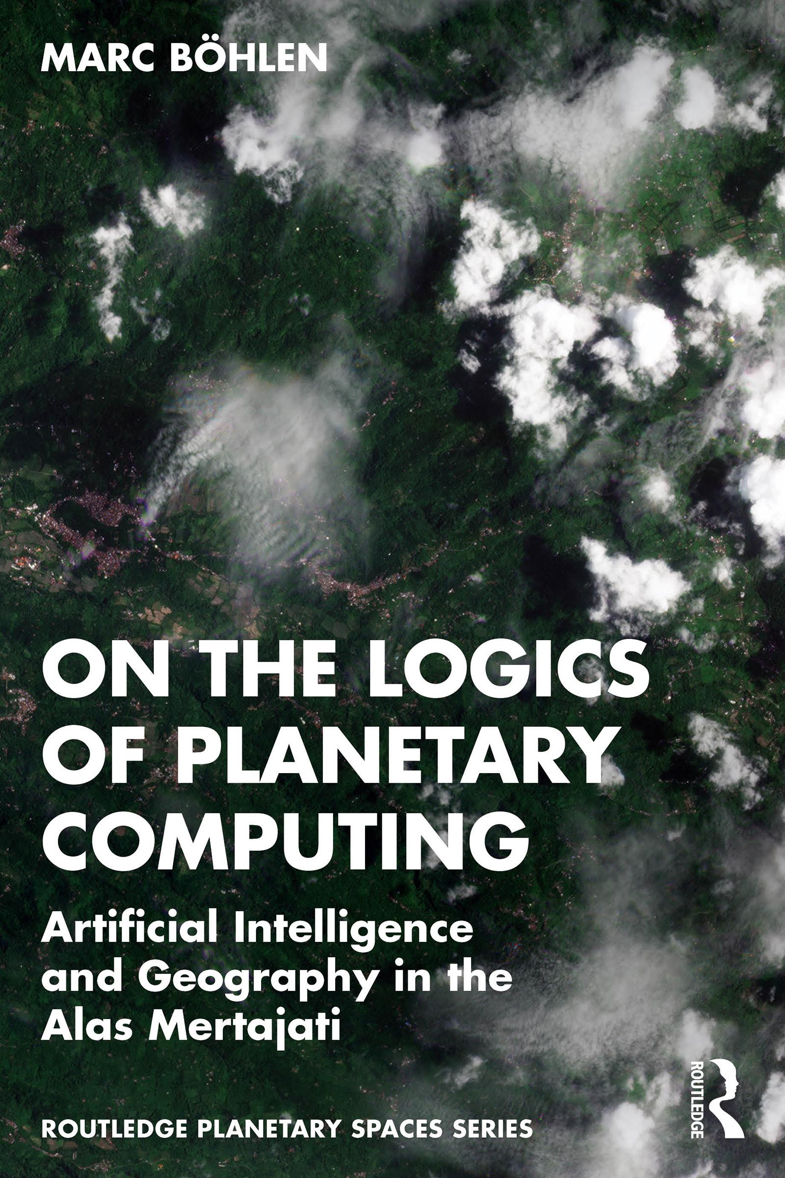
A new breed of low Earth orbit satellites is making planetary-scale observation and analysis ubiquitous. This book explores how this condition feeds spatially explicit artificial intelligence, GeoAI, in redefining the study of landscapes, and how it impacts one particular land dispute in the Alas Mertajati in Central Bali, Indonesia.
This book combines scholarship from the humanities and engineering to forge a novel way of presenting planetary computing in its GeoAI vernacular. From data collection to model evaluation, the book describes how multi-spectral, high-resolution satellite data and machine learning algorithms respond to uncommon land cover conditions, including sustainable land care practices such as agroforestry while contextualizing the operations within science and media studies. Together with the installation logics-of-geoai.org, this book offers full-spectrum immersion into the unstable nexus of geography and artificial intelligence.
This book will be of interest to any experimental artist, social scientist, curious AI engineer, or a free-range scholar. It will likewise appeal to students and scholars of science technology studies, media studies, geography, and ethnography.
Maksa helposti kortilla, Klarnalla, Apple Paylla tai Google Paylla. Etkö ole tyytyväinen? Sinulla on aina 14 päivän palautusoikeus. Lue lisää ehdoistamme. Jos sinulla on kysyttävää, lähetä meille sähköpostia osoitteeseen hello@memmo.org.
Memmo tekee opiskelusta helpompaa – missä päin maailmaa ikinä oletkin. Meillä yhdistät kurssikirjat ja fiksut opiskelutyökalut yhteen paikkaan: tiivistelmät, visat, podcastit ja muistikortit. Ja sitten Ted, opiskelukaverisi, joka vastaa kaikkeen, mitä ikinä mietitkin. Yli 50 000 opiskelijaa opiskelee jo täällä – rakennettu auttamaan sinua oppimaan nopeammin ja stressaamaan vähemmän.