
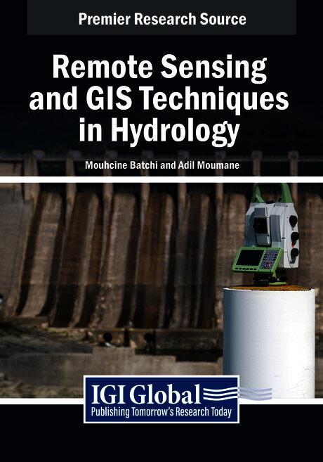
Remote sensing and Geographic Information Systems (GIS) have become essential tools in the field of hydrology, offering powerful methods for understanding and managing water resources. These technologies provide critical insights into hydrological processes, enabling better spatial analysis and decision-making to address environmental, social, and economic challenges related to water. From monitoring river basins and assessing flood risks to managing water quality and predicting droughts, remote sensing and GIS are revolutionizing how we study and interact with water systems. Remote Sensing and GIS Techniques in Hydrology delves into advanced principles and techniques, focusing on their integration with emerging technologies like unmanned aerial vehicles (UAVs), artificial intelligence, and machine learning. Through theoretical discussions, practical case studies, and innovative approaches, this publication demonstrates how remote sensing and GIS can be effectively utilized to tackle complex hydrological challenges. It serves as a valuable resource for researchers, practitioners, students, and policymakers, offering insights into state-of-the-art methodologies and fostering the adoption of advanced tools for sustainable water management.
Pages: 370
Category: Geologi & geovetenskap
e-ISBN: 9798369396544
Shipping weight: 1.2 kg
Ships in: 1-2 days
Pay easily by card, Klarna, Apple Pay or Google Pay. Not happy? You always have a 14-day money-back guarantee. Read more in our terms. If you have any questions, email us at hello@memmo.org.
Memmo makes studying easier – wherever you are in the world. We bring your course books and smart study tools together in one place: summaries, quizzes, podcasts and flashcards. Plus Ted, your study buddy who answers anything you wonder. Over 50,000 students already study here – built to help you learn faster and stress less.
You might also like
Buy the book0