
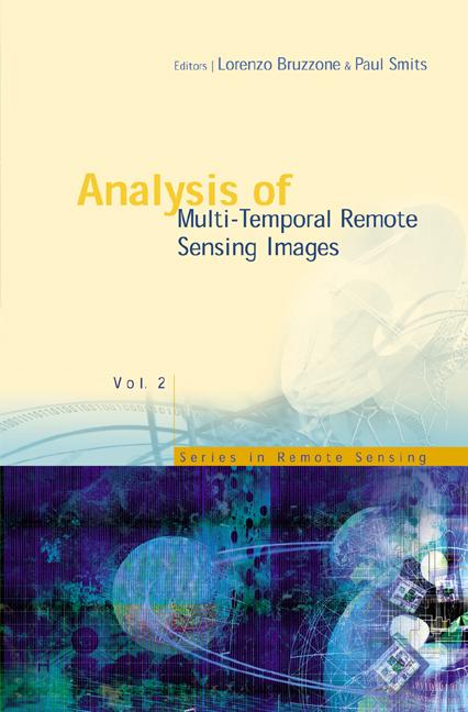
The development of effective methodologies for the analysis of multi-temporal data is one of the most important and challenging issues that the remote sensing community will face in the next few years. The relevance and timeliness of this issue are directly related to the ever-increasing quantity of multi-temporal data provided by the numerous remote sensing satellites that orbit our planet. The synergistic use of multi-temporal remote sensing data and advanced analysis methodologies results in the possibility of solving complex problems related to the monitoring of the Earth's surface and atmosphere.This book brings together the methodological aspects of multi-temporal remote sensing image analysis, real applications and end-user requirements, presenting the state of the art in this field and contributing to the definition of common research priorities. Researchers and graduate students in the fields of remote sensing, image analysis, and environmental monitoring will appreciate the interdisciplinary approach thanks to the articles written by experts from different scientific communities.
Pages: 456
Category: Geologi & geovetenskap
e-ISBN: 9789812777249
Shipping weight: 1.2 kg
Ships in: 1-2 days
Pay easily by card, Klarna, Apple Pay or Google Pay. Not happy? You always have a 14-day money-back guarantee. Read more in our terms. If you have any questions, email us at hello@memmo.org.
Memmo makes studying easier – wherever you are in the world. We bring your course books and smart study tools together in one place: summaries, quizzes, podcasts and flashcards. Plus Ted, your study buddy who answers anything you wonder. Over 50,000 students already study here – built to help you learn faster and stress less.
You might also like
Buy the book0