
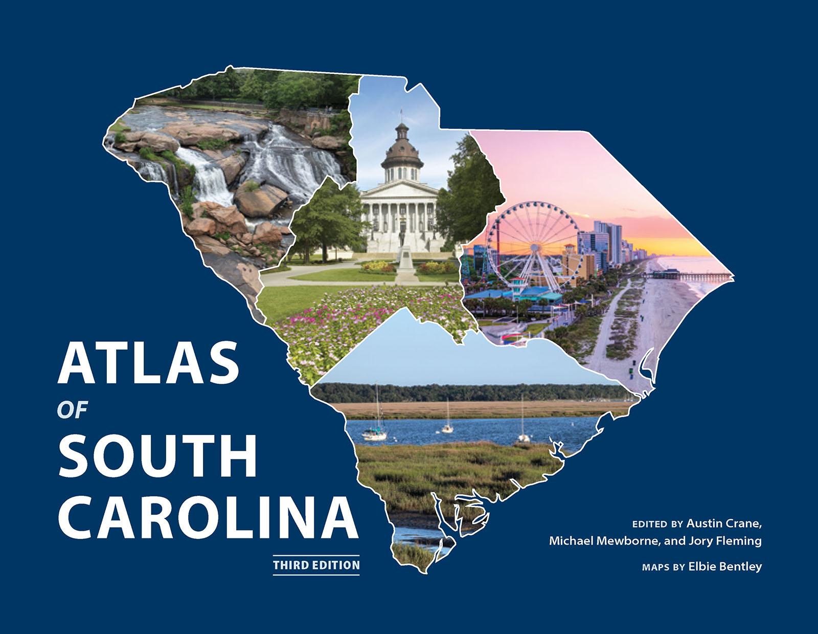
A rich visual illustration of South Carolina's physical, political, social, and cultural geography
What is the regional distribution of South Carolinians' preferred barbeque sauces? Where were colonial roads located, and how did they relate to the sites of Revolutionary War battles? Where were the key locales of protest during the civil rights movement? When is South Carolina's tornado season and where have tornadoes struck most frequently? Offering more than fifty full-color maps, the third edition of the Atlas of South Carolina provides answers to all these questions and more, illustrating the diverse physical, cultural, political, and historical landscapes of the Palmetto State. The Atlas of South Carolina helps readers of all ages better understand the state in which they live.
Pay easily by card, Klarna, Apple Pay or Google Pay. Not happy? You always have a 14-day money-back guarantee. Read more in our terms. If you have any questions, email us at hello@memmo.org.
Memmo makes studying easier – wherever you are in the world. We bring your course books and smart study tools together in one place: summaries, quizzes, podcasts and flashcards. Plus Ted, your study buddy who answers anything you wonder. Over 50,000 students already study here – built to help you learn faster and stress less.