
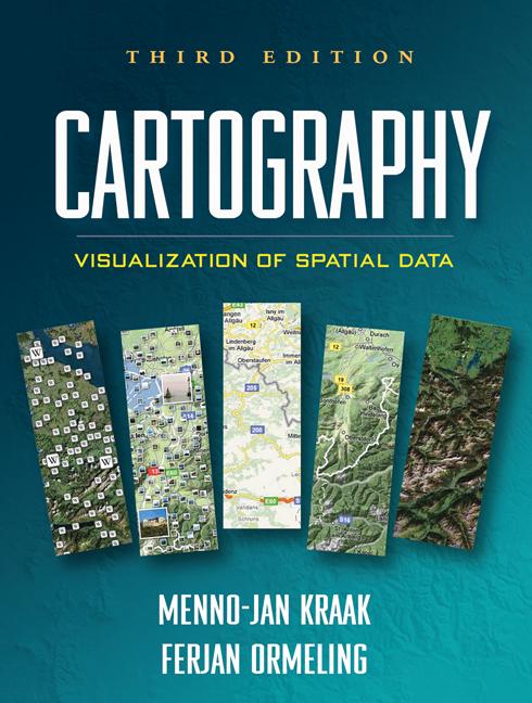
Integrating cutting-edge technology with traditional cartographic principles, this text provides a framework for effectively visualizing and analyzing geospatial data. It gives students critical concepts and methods for harnessing the enormous amount of geospatial data that is available on the Internet and creating maps that can support real-world decision making. The writing style is straightforward and accessible. Illustrated throughout with highly instructive diagrams and sample maps, the book includes 58 color plates.
Pay easily by card, Klarna, Apple Pay or Google Pay. Not happy? You always have a 14-day money-back guarantee. Read more in our terms. If you have any questions, email us at hello@memmo.org.
Memmo makes studying easier – wherever you are in the world. We bring your course books and smart study tools together in one place: summaries, quizzes, podcasts and flashcards. Plus Ted, your study buddy who answers anything you wonder. Over 50,000 students already study here – built to help you learn faster and stress less.