
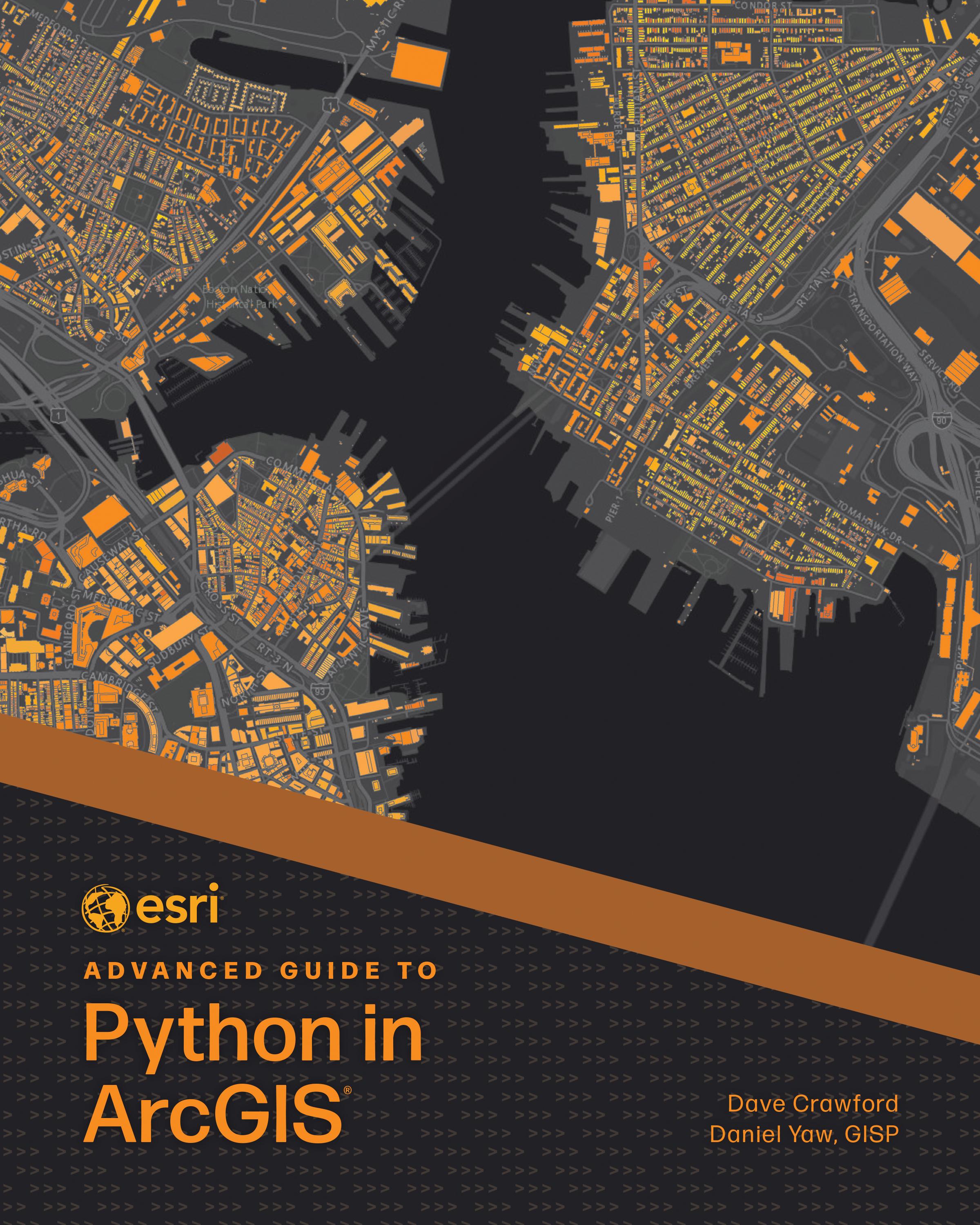
Solving complex geospatial problems and delivering solutions has never been easier.
Ready to take your Python knowledge to the next level? Esri Advanced Guide to Python in ArcGIS guides working GIS professionals through integrating Python with ArcGIS capabilities with increasing complexity through each consecutive chapter. Every chapter includes a project that teaches technical skills and problem-solving applicable to practical, job-focused assignments, including understanding client needs, performing market analytics, and managing ArcGIS Online organizations.
Esri Advanced Guide to Python in ArcGIS uses step-by-step tutorials with an informal, conversational style of writing so you can easily follow and immediately apply the skills explained. Topics include:
- Designing effective GIS Python solutions
- ArcPy and ArcGIS API for Python basics
- Using imagery and GeoAI for advanced analysis
- Object-oriented programming
- Delivering work in various formats: Python scripts, Jupyter Notebook, ArcGIS Pro tools, geoprocessing services, and web applications
- Data engineering and manipulation techniques
- Managing ArcGIS Enterprise, ArcGIS Online, and other portal administration
Perfect for intermediate to advanced programmers looking to enhance their GIS capabilities, Esri Advanced Guide to Python in ArcGIS will quickly help you become skilled at using Python for geospatial solutions and become more proficient and capable in your work.
Pay easily by card, Klarna, Apple Pay or Google Pay. Not happy? You always have a 14-day money-back guarantee. Read more in our terms. If you have any questions, email us at hello@memmo.org.
Memmo makes studying easier – wherever you are in the world. We bring your course books and smart study tools together in one place: summaries, quizzes, podcasts and flashcards. Plus Ted, your study buddy who answers anything you wonder. Over 75,000 students already study here – built to help you learn faster and stress less.