
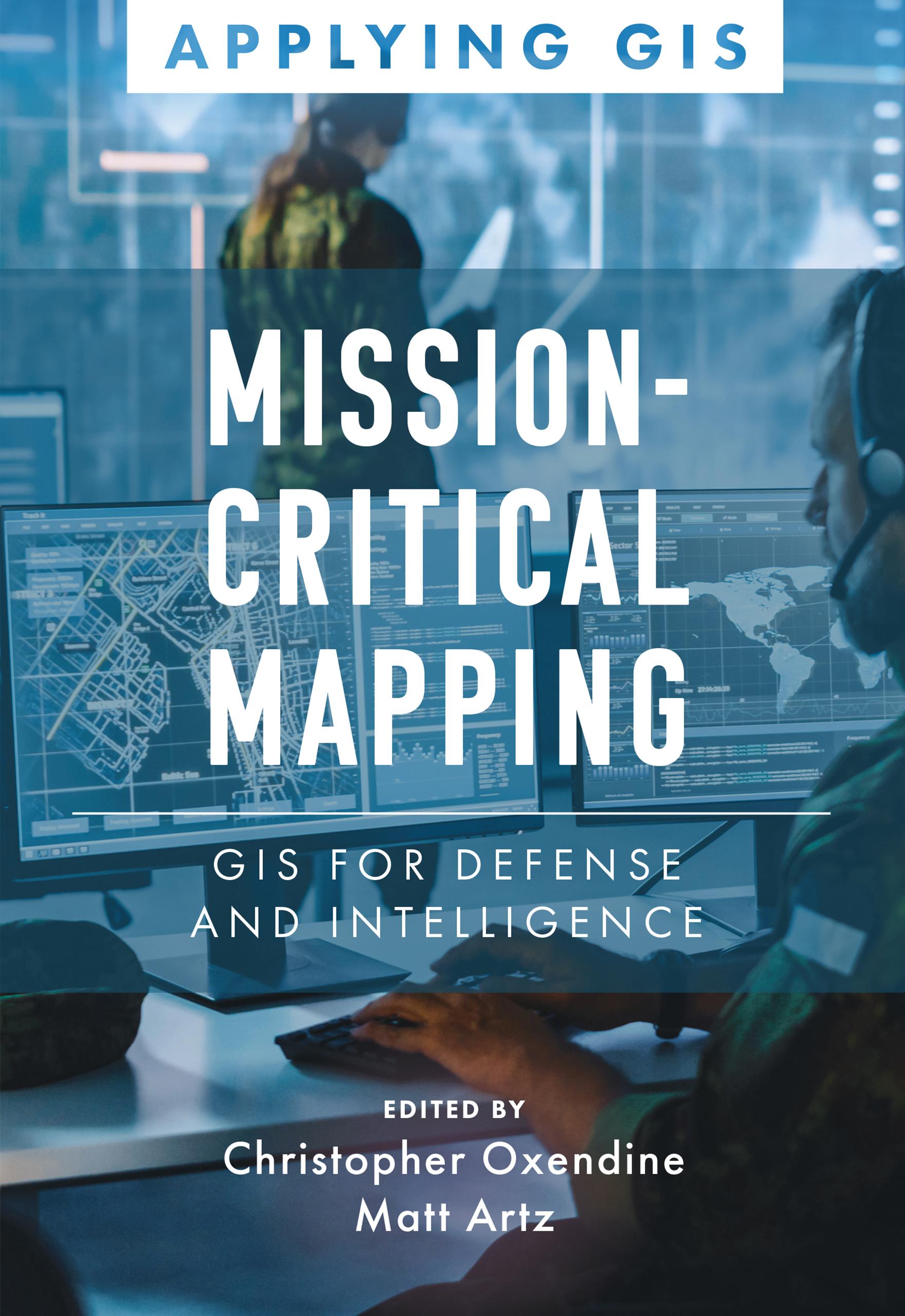
Discover a geographic approach to defense and intelligence.
Mission-Critical Mapping: GIS for Defense and Intelligence explores a collection of real-life stories about defense and intelligence organizations successfully using GIS to manage their high-stakes work.
Defense organizations use ArcGIS to enable joint all-domain operations and provide data integration, analytics, and a decision support framework for all defense functions. GIS infrastructure allows data to flow seamlessly from headquarters to the tactical edge. This data integration, analytics, and decision support framework supports the following in a dynamic information environment:
- Joint all-domain operations
- Data analysis and visualization
- Knowledge management
- Improved decision-making
Mission-Critical Mapping: GIS for Defense and Intelligence shares examples of organizations effectively using GIS to improve defense operations and readiness, intelligence collection and collaboration, and humanitarian assistance. The book also includes a section on next steps that provides ideas, strategies, tools, and actions to help jump-start your own use of GIS for defense and intelligence applications. A collection of online resources, including additional stories, videos, new ideas and concepts, and downloadable tools and content, complements this book.
Pay easily by card, Klarna, Apple Pay or Google Pay. Not happy? You always have a 14-day money-back guarantee. Read more in our terms. If you have any questions, email us at hello@memmo.org.
Memmo makes studying easier – wherever you are in the world. We bring your course books and smart study tools together in one place: summaries, quizzes, podcasts and flashcards. Plus Ted, your study buddy who answers anything you wonder. Over 50,000 students already study here – built to help you learn faster and stress less.