
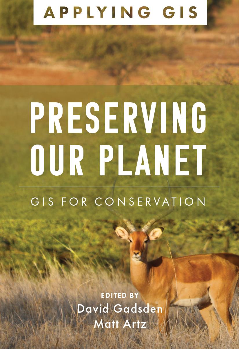
Discover the geographic approach to conservation land management and landscape conservation.
Geographic information system (GIS) technology offers a comprehensive tool for conservation professionals. A modern GIS gives users a real-time look at their data, locations, and their relationships. When applied to conservation, it reveals dependencies and challenges across multiple environments. Through maps and apps, conservation professionals can observe the field, analyze and organize their data, and collaborate with other organizations and the public on addressing threats and opportunities found. Preserving Our Planet: GIS for Conservation explores a collection of real-life stories about conservation organizations successfully using GIS to meet challenges to biodiversity preservation in our rapidly changing world.
The book also includes a section on next steps that provides ideas, strategies, tools, and actions to help you jump-start your own use of GIS for conservation. A collection of online resources, including additional stories, videos, new ideas and concepts, and downloadable tools and content, complements this book.
Edited by David Gadsden, director of conservation solutions at Esri, and Matt Artz, an Esri content strategist.
Pay easily by card, Klarna, Apple Pay or Google Pay. Not happy? You always have a 14-day money-back guarantee. Read more in our terms. If you have any questions, email us at hello@memmo.org.
Memmo makes studying easier – wherever you are in the world. We bring your course books and smart study tools together in one place: summaries, quizzes, podcasts and flashcards. Plus Ted, your study buddy who answers anything you wonder. Over 50,000 students already study here – built to help you learn faster and stress less.