
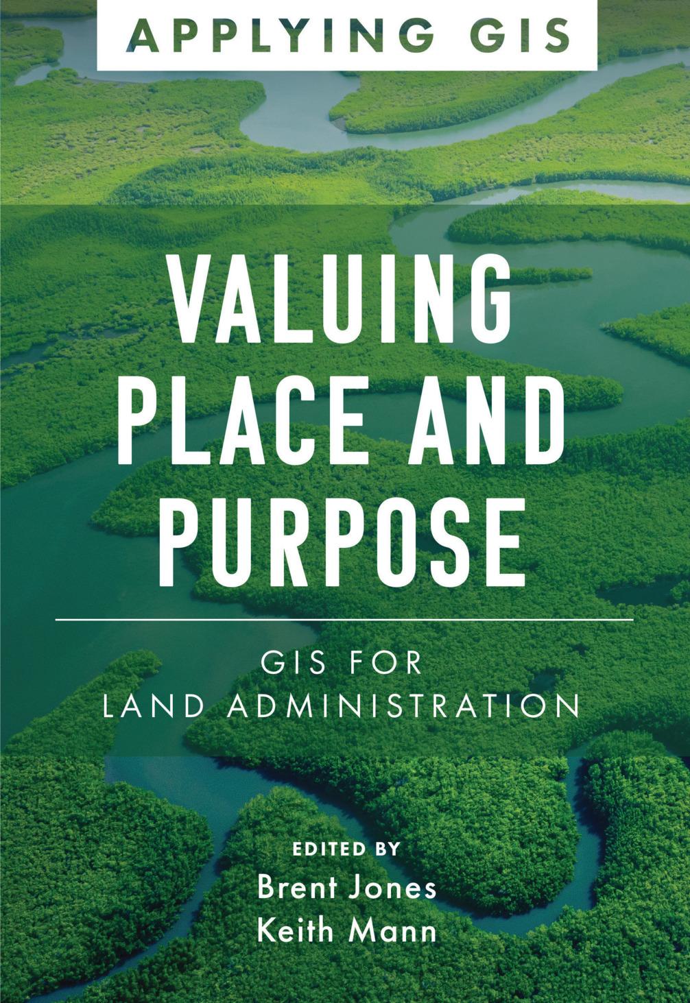
Modern land administration applies geospatial thinking to better understand and plan the proper use, conservation, and equitable use of land and property.
Location intelligence is changing the way land administration works to protect and maintain appropriate land use and achieve better economic, environmental, and social benefits. The real-life stories in Valuing Place and Purpose: GIS for Land Administration show how communities, government agencies, nonprofits, and other organizations implement geographic information systems (GIS) in four key areas:
· Visualizing parcels and property
· Managing land use
· Strengthening climate and conservation efforts
· Addressing land rights, equity, and social justice
The book also includes a special section to help readers get started using web apps, online maps, dashboards, and other GIS solutions to represent and understand the value of land and property and efficiently manage, edit, and share land parcel data more accurately.
Pay easily by card, Klarna, Apple Pay or Google Pay. Not happy? You always have a 14-day money-back guarantee. Read more in our terms. If you have any questions, email us at hello@memmo.org.
Memmo makes studying easier – wherever you are in the world. We bring your course books and smart study tools together in one place: summaries, quizzes, podcasts and flashcards. Plus Ted, your study buddy who answers anything you wonder. Over 50,000 students already study here – built to help you learn faster and stress less.