
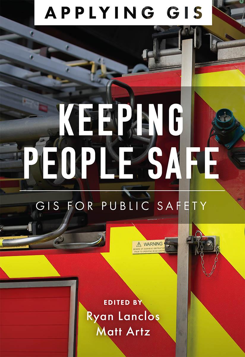
Discover a modern approach to help mitigate threats to public safety in your community.
Creating safer, less vulnerable communities requires a modern approach to understanding threats and hazards that are more complex, costly, and devastating than ever before. Public safety agencies around the world rely on geographic information systems (GIS) technology every day to prevent, protect against, and mitigate the effects of threats and hazards in their communities. By applying GIS, you'll develop a deeper understanding of these complex threats to help you better respond to and recover from the threats that pose the greatest risk to keeping your community safe and ultimately build the resilience needed for the future.
Keeping People Safe: GIS for Public Safety explores a collection of real-life case studies about emergency management, law enforcement, fire, rescue, emergency medical services, and homeland security agencies successfully using GIS for real and potential threats. The book also includes a “how to get started” section that provides ideas, strategies, tools, and actions to help jump-start your own use of GIS for public safety. A collection of online resources, including additional stories, videos, new ideas and concepts, and downloadable tools and content, complements this book.
Pay easily by card, Klarna, Apple Pay or Google Pay. Not happy? You always have a 14-day money-back guarantee. Read more in our terms. If you have any questions, email us at hello@memmo.org.
Memmo makes studying easier – wherever you are in the world. We bring your course books and smart study tools together in one place: summaries, quizzes, podcasts and flashcards. Plus Ted, your study buddy who answers anything you wonder. Over 50,000 students already study here – built to help you learn faster and stress less.