
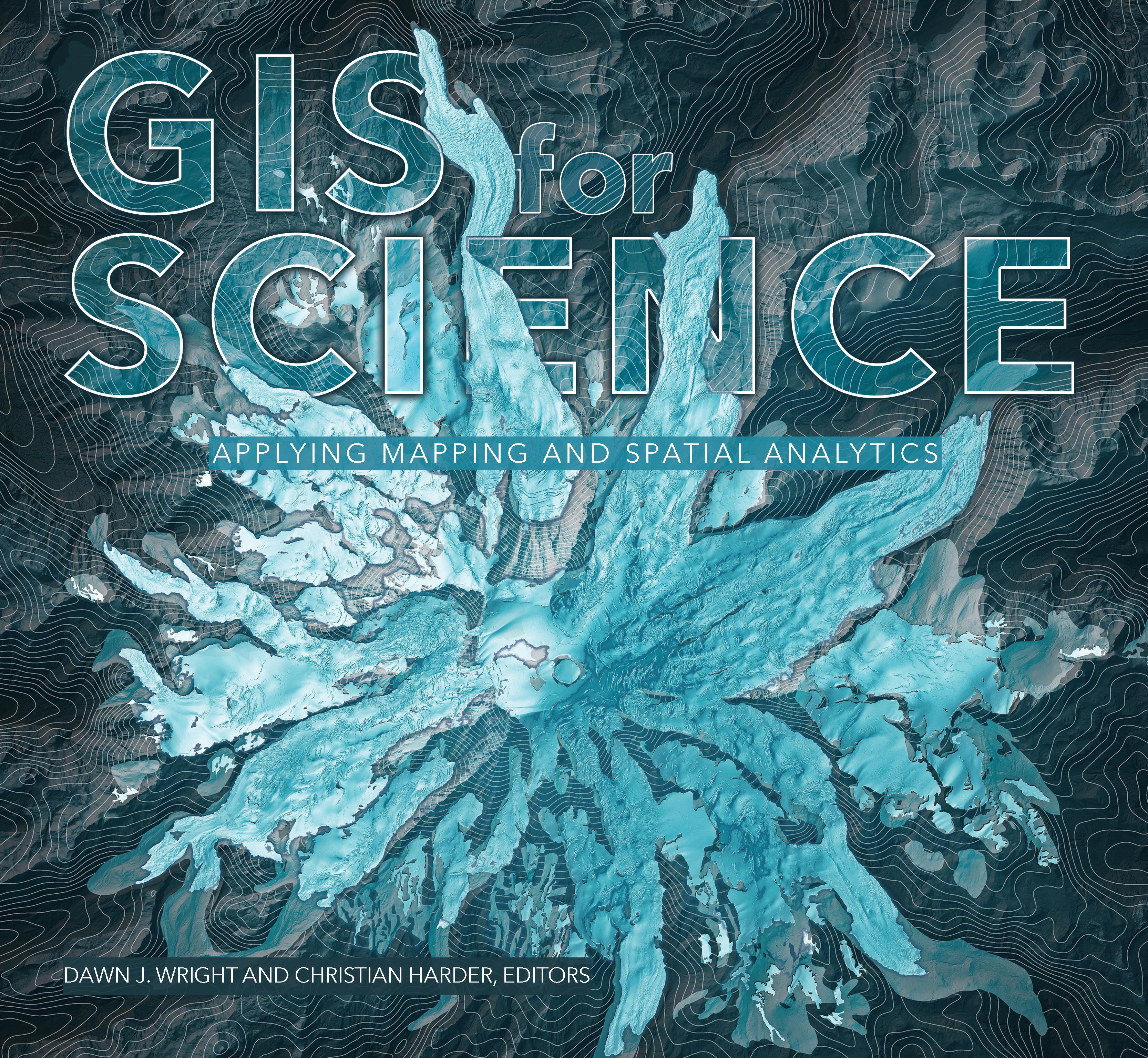
GIS for Science presents a collection of real-world stories about modern science and a cadre of scientists who use mapping and spatial analytics to expand their understanding of the world.
The accounts in this book are written for a broad audience including professional scientists, the swelling ranks of citizen scientists, and people generally interested in science and geography. Scientific data are brought to life with GIS technology to study a range of issues relevant to the functioning of planet Earth in a natural sense as well as the impacts of human activity. In a race against the clock, the scientists profiled in this volume are using remote sensing, web maps within a geospatial cloud, Esri StoryMaps, and spatial analysis to document and solve an array of issues with a geographic dimension, ranging from climate change, natural disasters, and loss of biodiversity, to homelessness, loss of green infrastructure, and resource shortages.
These stories present geospatial ideas and inspiration that readers can apply across many disciplines, making this volume relevant to a diverse scientific audience.
See how scientists working on the world's most pressing problems apply geographic information systems—GIS.
Pay easily by card, Klarna, Apple Pay or Google Pay. Not happy? You always have a 14-day money-back guarantee. Read more in our terms. If you have any questions, email us at hello@memmo.org.
Memmo makes studying easier – wherever you are in the world. We bring your course books and smart study tools together in one place: summaries, quizzes, podcasts and flashcards. Plus Ted, your study buddy who answers anything you wonder. Over 50,000 students already study here – built to help you learn faster and stress less.