
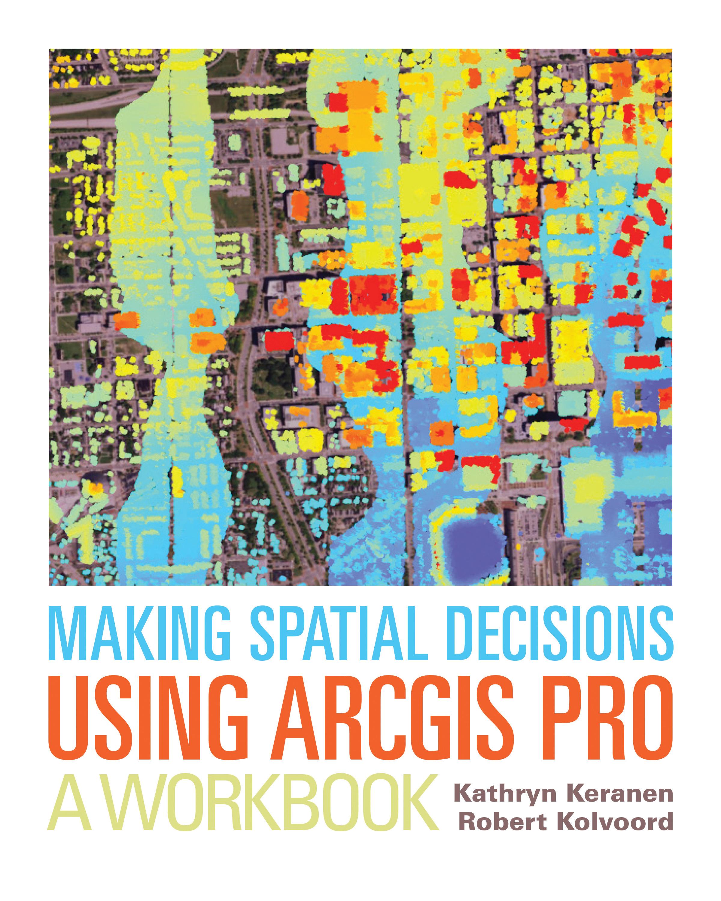
"How can we protect...?" "Where do we allocate...?" "What's the extent and pattern of...?" You have questions in a spatial context; Making Spatial Decisions Using ArcGIS Pro has answers based in The Science of Where™.
Making Spatial Decisions Using ArcGIS Pro is a textbook that provides the user with a broad overview of the capabilities of using ArcGIS Pro to use geospatial tools to solve real-world problems. This book takes full advantage of the integrative nature of ArcGIS Pro and its advanced capabilities to seamlessly unite cloud-based and desktop GIS. The lessons included in this book have been adapted and updated from lessons from Keranen and Kolvoord's popular first three Esri Press books: Making Spatial Decisions Using GIS, Making Spatial Decisions Using GIS and Remote Sensing, and Making Spatial Decisions Using GIS and Lidar.
Note: This book requires ArcGIS software. You can download the ArcGIS Trial at http://www.esri.com/arcgis/trial, contact your school or business Esri Site License Administrator, or purchase a student or individual license through the Esri Store.
Pay easily by card, Klarna, Apple Pay or Google Pay. Not happy? You always have a 14-day money-back guarantee. Read more in our terms. If you have any questions, email us at hello@memmo.org.
Memmo makes studying easier – wherever you are in the world. We bring your course books and smart study tools together in one place: summaries, quizzes, podcasts and flashcards. Plus Ted, your study buddy who answers anything you wonder. Over 50,000 students already study here – built to help you learn faster and stress less.