
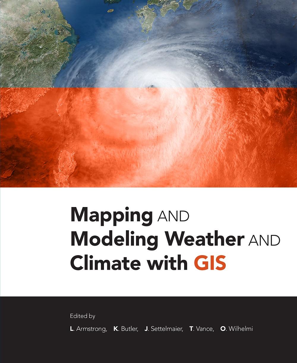
Mapping and Modeling Weather and Climate with GIS is a contributed volume of 23 chapters from leading climatologists, meteorologists, and other experts about how geospatial cartography and analysis helps to advance atmospheric science research. Coverage includes data and software resources, data representation, observations, modeling, data-model integration, web services, and the areas of current and potential cross-fertilization of atmospheric and geospatial sciences. Providing both the concepts and practices of mapping and modeling projects, the book is useful to novices using GIS on weather and climate projects. Practitioners and managers will gain a clear picture of the advances in GIS for atmospheric sciences and appreciate the helpful lists of available geospatial resources.
Pay easily by card, Klarna, Apple Pay or Google Pay. Not happy? You always have a 14-day money-back guarantee. Read more in our terms. If you have any questions, email us at hello@memmo.org.
Memmo makes studying easier – wherever you are in the world. We bring your course books and smart study tools together in one place: summaries, quizzes, podcasts and flashcards. Plus Ted, your study buddy who answers anything you wonder. Over 50,000 students already study here – built to help you learn faster and stress less.
You might also like
Buy the book0