
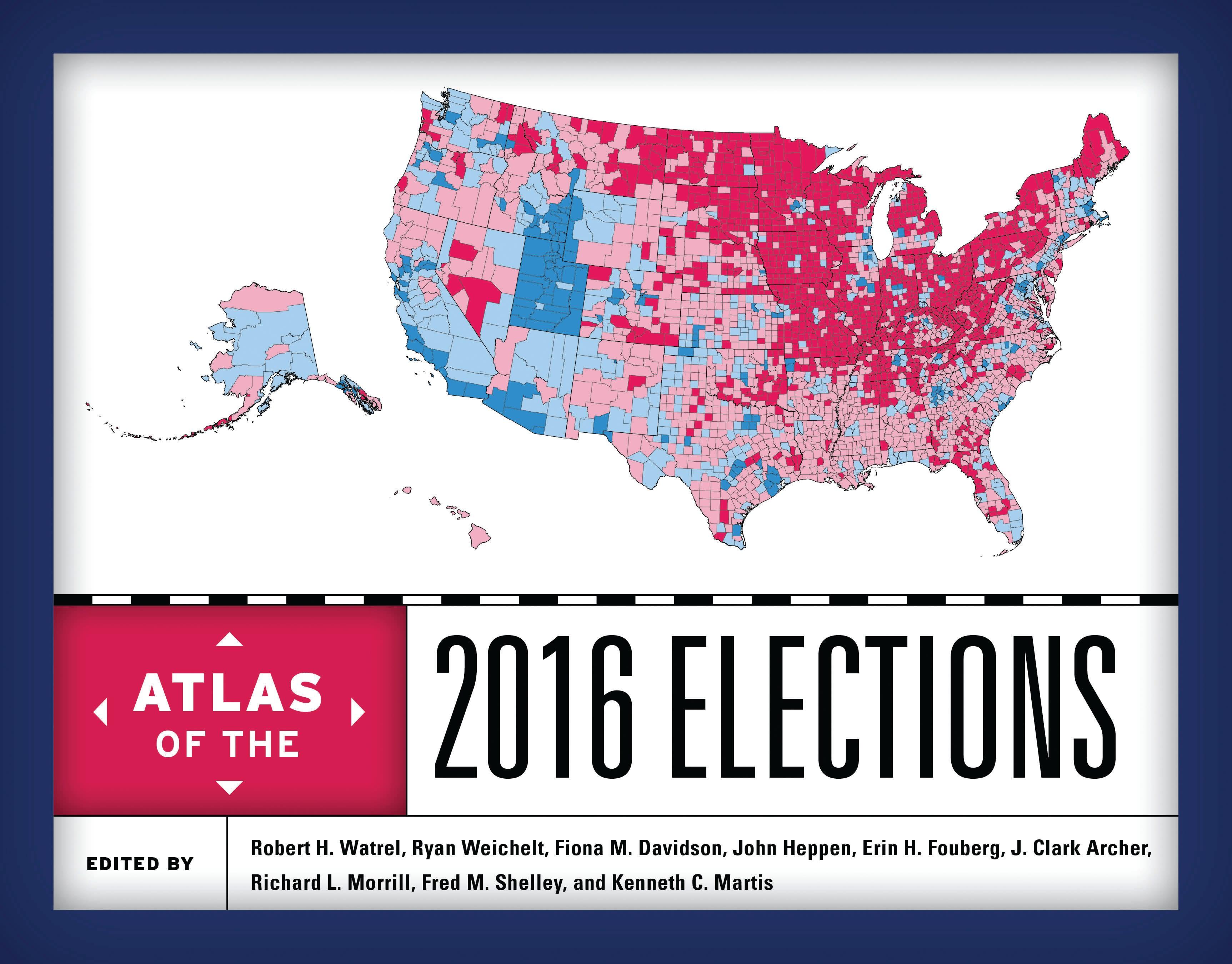
The 2016 presidential election was one of the most dramatic upsets in US political history. Virtually all pre-election polls indicated Democrat Hillary Clinton ahead of Republican Donald Trump in the popular vote and Electoral College. The Atlas of the 2016 Elections explains the surprising Trump victory with a series of unique maps unleashing the illustrative power of cartography and the explanatory power of history and political geography. The contributors—a balanced mix of geographers, political scientists, and historians—provide a comprehensive examination of the election process from the primary campaigns and nominating conventions to the fall campaign and final results. In addition to the presidential election, the Atlas has full coverage of other important races, including congressional races, state races, and local and state referenda. Illustrated with more than one hundred meticulously drawn full-color maps, the Atlas will be an essential reference and a fascinating resource for pundits, voters, campaign staff, and political junkies alike.
Pages: 280
Category: Statsvetenskap & Politik
e-ISBN: 9781538104231
Shipping weight: 1.2 kg
Ships in: 1-2 days
Pay easily by card, Klarna, Apple Pay or Google Pay. Not happy? You always have a 14-day money-back guarantee. Read more in our terms. If you have any questions, email us at hello@memmo.org.
Memmo makes studying easier – wherever you are in the world. We bring your course books and smart study tools together in one place: summaries, quizzes, podcasts and flashcards. Plus Ted, your study buddy who answers anything you wonder. Over 50,000 students already study here – built to help you learn faster and stress less.