
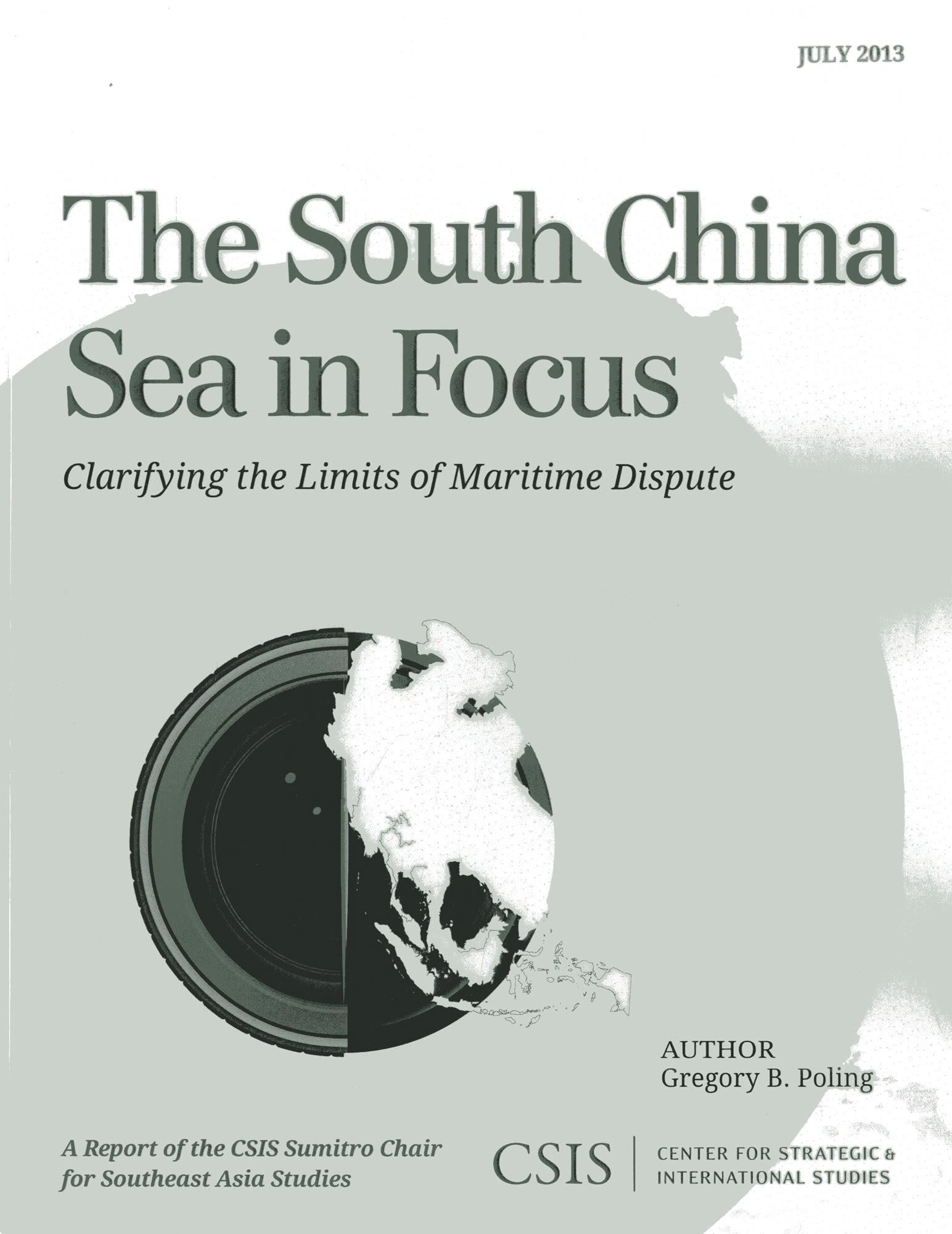
Satellite imagery and geospatial analysis tools offer an unprecedented opportunity to harness new technologies in order to help resolve boundary disputes. The South China Sea in Focus: Clarifying the Limits of Maritime Dispute uses these tools to provide a first and necessary step toward tackling the overlapping maritime disputes in the South China Sea: determining which waters are and are not in dispute under international law. The report opens with a set of geographic information system (GIS)–based maps that provide an easily understandable benchmark against which policymakers and academics can judge the claims and actions of the South China Sea claimants. More detailed color maps and methodological information follow for those who want to dig deeper into the claims and the report’s conclusions.
Pages: 44
Category: Statsvetenskap & Politik
e-ISBN: 9781442224865
Shipping weight: 1.2 kg
Ships in: 1-2 days
Pay easily by card, Klarna, Apple Pay or Google Pay. Not happy? You always have a 14-day money-back guarantee. Read more in our terms. If you have any questions, email us at hello@memmo.org.
Memmo makes studying easier – wherever you are in the world. We bring your course books and smart study tools together in one place: summaries, quizzes, podcasts and flashcards. Plus Ted, your study buddy who answers anything you wonder. Over 50,000 students already study here – built to help you learn faster and stress less.