
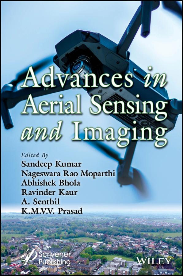
This groundbreaking book is a comprehensive guide to the technology found in the complex field of aerial sensing and imaging, and the real-world challenges that stem from its growing significance and demand.
The advent of unmanned aerial vehicles (UAVs), or drones, along with advancements in sensor technology and image processing techniques, has further enhanced the capabilities and applications of aerial sensing and imaging. These developments have opened up new research, innovation, and exploration avenues.
Aerial sensing and imaging have rapidly evolved over the past few decades and have revolutionized several fields, including land cover and usage prediction, crop and livestock management, road accident monitoring, poverty estimation, defense, agriculture, forest fire detection, UAV security issues, and open parking management. This book provides a comprehensive understanding and knowledge of the underlying technology and its practical applications in different domains.
Audience
Computer science and artificial intelligence researchers working in the fields of aerial sensing and imaging, as well as professionals working in industries such as agriculture, geology, surveying, urban planning, disaster response, etc; this book provides them with practical guidance and instruction on how to apply aerial sensing and imaging for various purposes and stay up-to-date with the latest developments in the domain.
Pay easily by card, Klarna, Apple Pay or Google Pay. Not happy? You always have a 14-day money-back guarantee. Read more in our terms. If you have any questions, email us at hello@memmo.org.
Memmo makes studying easier – wherever you are in the world. We bring your course books and smart study tools together in one place: summaries, quizzes, podcasts and flashcards. Plus Ted, your study buddy who answers anything you wonder. Over 50,000 students already study here – built to help you learn faster and stress less.