
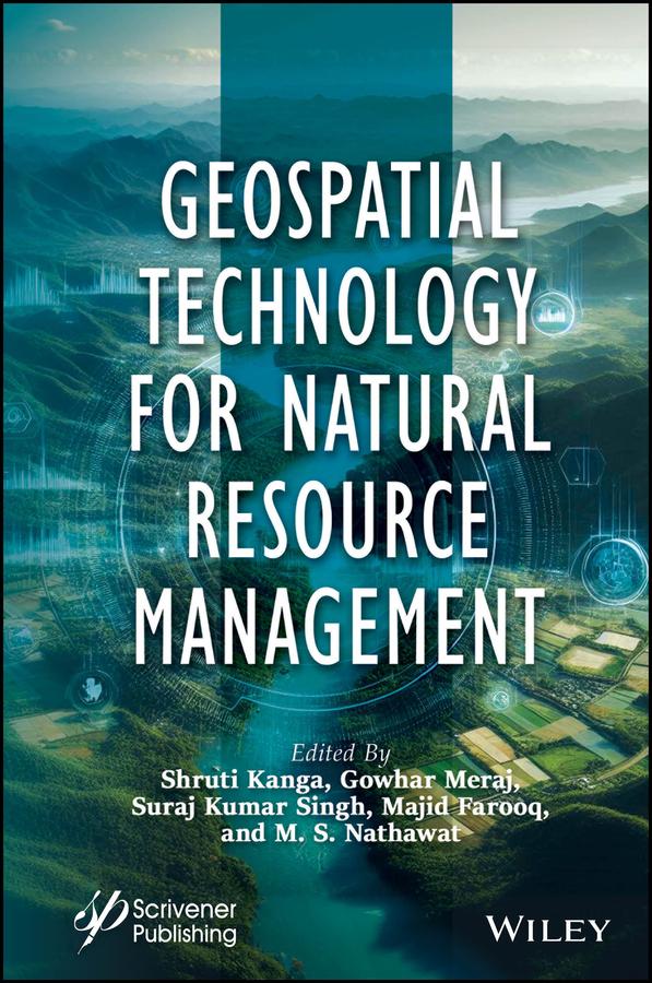
This book is essential for anyone interested in understanding and implementing sustainable resource development strategies, as it covers the crucial first stage of assessing resource availability and condition, along with the use of modern geospatial technologies such as remote sensing, GIS, and GPS for surveying, mapping, and monitoring various resources for global environmental protection and sustainable development.
The first step in developing a sustainable resource strategy is assessing the availability and condition of resources. This involves evaluating baseline levels, identifying trends, and understanding their consequences. Mitigation policies are then developed based on this assessment. Modern geospatial technologies like Remote Sensing (RS), Geographic Information Systems (GIS), and Global Positioning Systems (GPS) offer powerful tools for surveying, mapping, and monitoring both renewable and nonrenewable resources. These technologies support global environmental protection, disaster management, and sustainable development by providing repetitive and global data. GPS provides accurate geographic coordinates, while GIS allows visualization, analysis, and decision-making through spatial data, enabling the study of complex environmental and natural resource challenges at various scales.
Pay easily by card, Klarna, Apple Pay or Google Pay. Not happy? You always have a 14-day money-back guarantee. Read more in our terms. If you have any questions, email us at hello@memmo.org.
Memmo makes studying easier – wherever you are in the world. We bring your course books and smart study tools together in one place: summaries, quizzes, podcasts and flashcards. Plus Ted, your study buddy who answers anything you wonder. Over 50,000 students already study here – built to help you learn faster and stress less.