
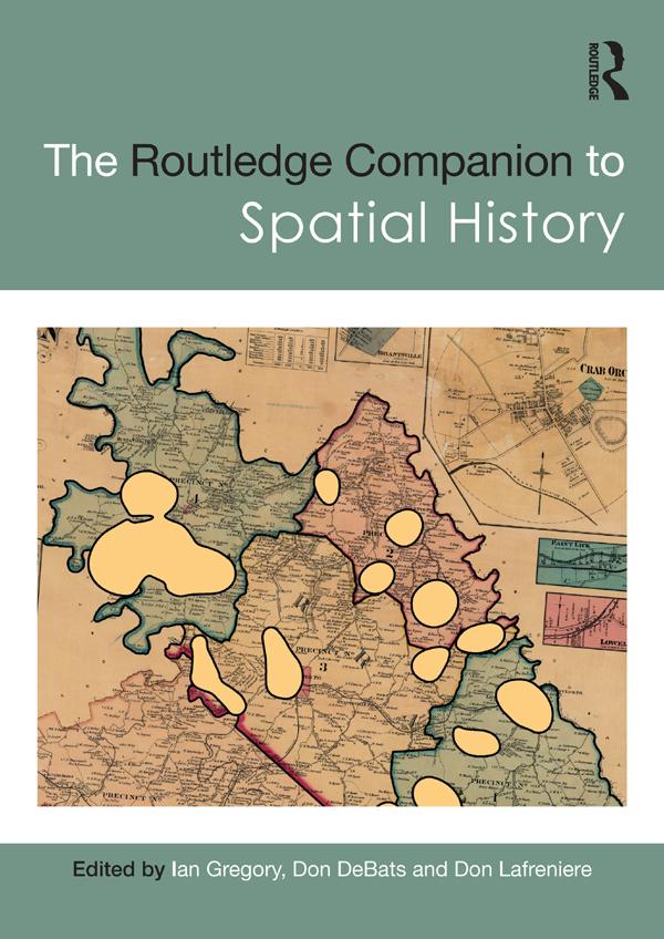
The Routledge Companion to Spatial History explores the full range of ways in which GIS can be used to study the past, considering key questions such as what types of new knowledge can be developed solely as a consequence of using GIS and how effective GIS can be for different types of research.
Global in scope and covering a broad range of subjects, the chapters in this volume discuss ways of turning sources into a GIS database, methods of analysing these databases, methods of visualising the results of the analyses, and approaches to interpreting analyses and visualisations. Chapter authors draw from a diverse collection of case studies from around the world, covering topics from state power in imperial China to the urban property market in nineteenth-century Rio de Janeiro, health and society in twentieth-century Britain and the demographic impact of the Second Battle of Ypres in 1915.
Critically evaluating both the strengths and limitations of GIS and illustrated with over two hundred maps and figures, this volume is an essential resource for all students and scholars interested in the use of GIS and spatial analysis as a method of historical research.
Pay easily by card, Klarna, Apple Pay or Google Pay. Not happy? You always have a 14-day money-back guarantee. Read more in our terms. If you have any questions, email us at hello@memmo.org.
Memmo makes studying easier – wherever you are in the world. We bring your course books and smart study tools together in one place: summaries, quizzes, podcasts and flashcards. Plus Ted, your study buddy who answers anything you wonder. Over 50,000 students already study here – built to help you learn faster and stress less.