
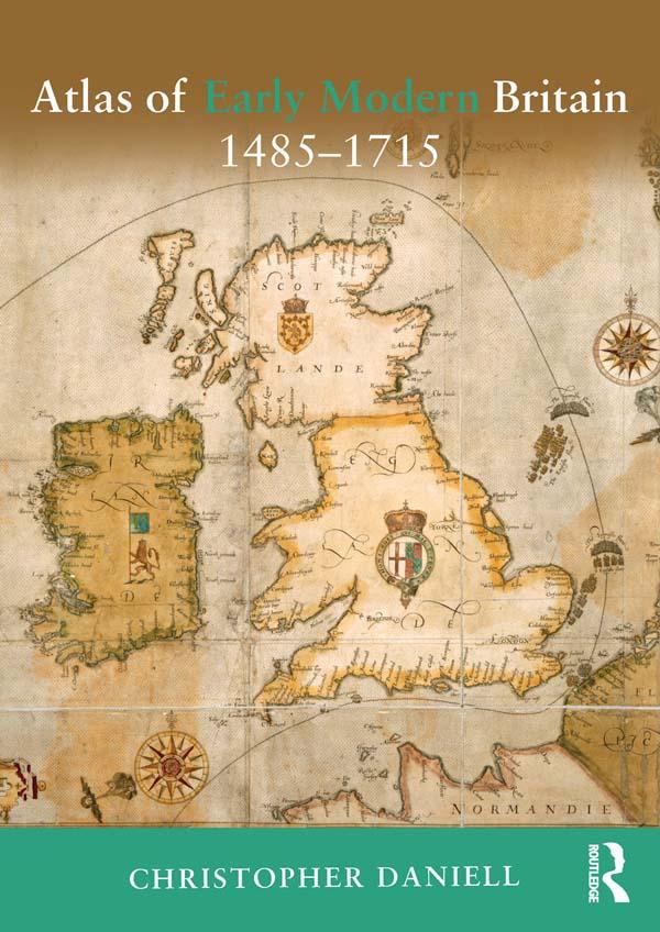
The Atlas of Early Modern Britain presents a unique visual survey of British history from the end of the Wars of the Roses through to the accession of George I in 1715. Featuring 117 maps, accompanied throughout by straightforward commentary and analysis, the atlas begins with a geographical section embracing England, Scotland, Ireland and Wales and providing clear orientation for the reader. It then focuses separately on the sixteenth and seventeenth centuries, dividing its coverage of each into four key themes: Geography and Counties - Outlining in detail how Britain's geography was shaped during the period; Politics and War - the main campaigns, rebellions and political changes in each century; Religion - including denominational concentrations, diocesan boundaries and witch trials; Economy and Culture -charting Britain's wealthiest towns, the locations of Britain's houses of aristocracy and the effects of The Great Fire of London; The broad scope of the atlas combines essential longer-term political, social, cultural and economic developments as well as key events such as the Spanish Armada, the Dissolution of the Monasteries, the Civil War and the Glorious Revolution. Its blend of clear visual aids and concise analysis represents an indispensable background and reference resource for all students of the early modern period.
Pay easily by card, Klarna, Apple Pay or Google Pay. Not happy? You always have a 14-day money-back guarantee. Read more in our terms. If you have any questions, email us at hello@memmo.org.
Memmo makes studying easier – wherever you are in the world. We bring your course books and smart study tools together in one place: summaries, quizzes, podcasts and flashcards. Plus Ted, your study buddy who answers anything you wonder. Over 50,000 students already study here – built to help you learn faster and stress less.