
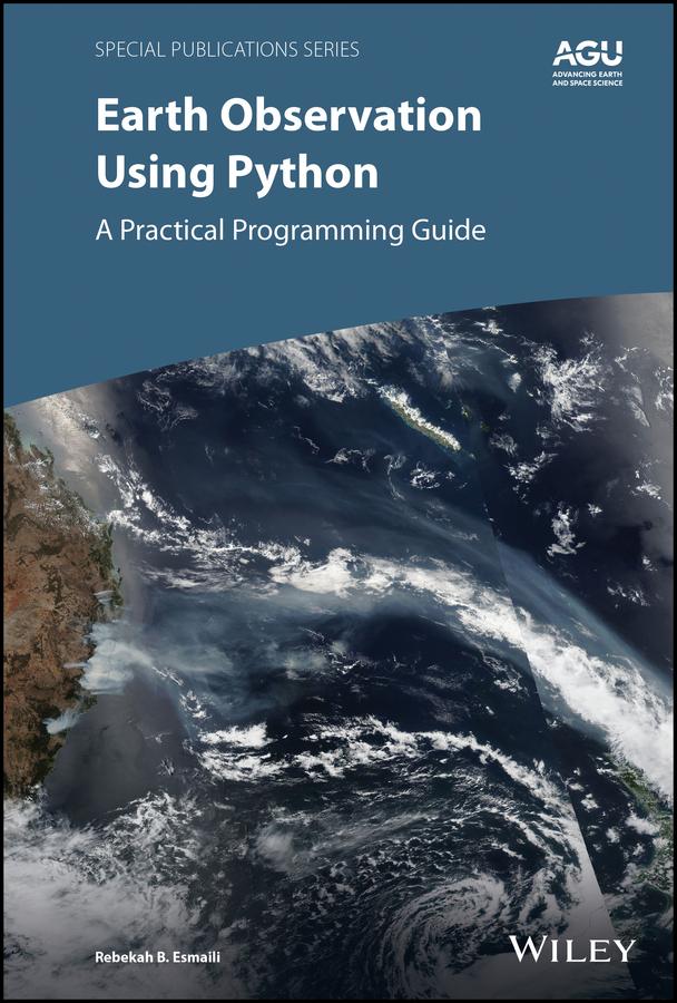
Learn basic Python programming to create functional and effective visualizations from earth observation satellite data sets
Thousands of satellite datasets are freely available online, but scientists need the right tools to efficiently analyze data and share results. Python has easy-to-learn syntax and thousands of libraries to perform common Earth science programming tasks.
Earth Observation Using Python: A Practical Programming Guide presents an example-driven collection of basic methods, applications, and visualizations to process satellite data sets for Earth science research.
- Gain Python fluency using real data and case studies
- Read and write common scientific data formats, like netCDF, HDF, and GRIB2
- Create 3-dimensional maps of dust, fire, vegetation indices and more
- Learn to adjust satellite imagery resolution, apply quality control, and handle big files
- Develop useful workflows and learn to share code using version control
- Acquire skills using online interactive code available for all examples in the book
The American Geophysical Union promotes discovery in Earth and space science for the benefit of humanity. Its publications disseminate scientific knowledge and provide resources for researchers, students, and professionals.
Find out more about this book from this Q&A with the Author
Pay easily by card, Klarna, Apple Pay or Google Pay. Not happy? You always have a 14-day money-back guarantee. Read more in our terms. If you have any questions, email us at hello@memmo.org.
Memmo makes studying easier – wherever you are in the world. We bring your course books and smart study tools together in one place: summaries, quizzes, podcasts and flashcards. Plus Ted, your study buddy who answers anything you wonder. Over 50,000 students already study here – built to help you learn faster and stress less.