
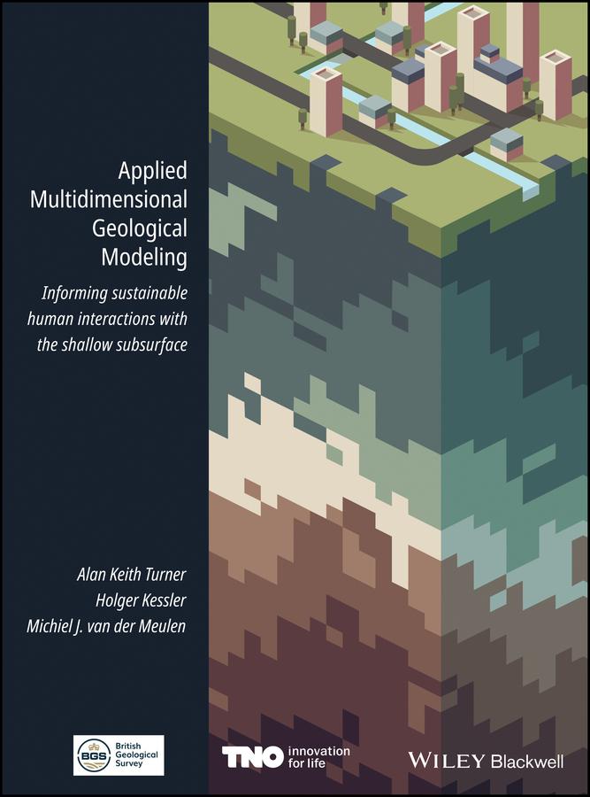
Over the past decades, geological survey organizations have digitized their data handling and holdings, unlocking vast amounts of data and information for computer processing. They have undertaken 3-D modeling alongside, and in some cases instead of, conventional geological mapping and begun delivering both data and interpretations to increasingly diverse stakeholder communities. Applied Multidimensional Geological Modeling provides a citable central source that documents the current capabilities and contributions of leading geological survey organization and other practitioners in industry and academia that are producing multidimensional geological models.
This book focuses on applications related to human interactions with conditions in the shallow subsurface, within 100-200 m of the surface. The 26 chapters, developed by 100 contributors associated with 37 organizations, discuss topics relevant to any geologist, scientist, engineer, urban planner, or decision maker whose practice includes assessment or planning of underground space.
Pay easily by card, Klarna, Apple Pay or Google Pay. Not happy? You always have a 14-day money-back guarantee. Read more in our terms. If you have any questions, email us at hello@memmo.org.
Memmo makes studying easier – wherever you are in the world. We bring your course books and smart study tools together in one place: summaries, quizzes, podcasts and flashcards. Plus Ted, your study buddy who answers anything you wonder. Over 50,000 students already study here – built to help you learn faster and stress less.