
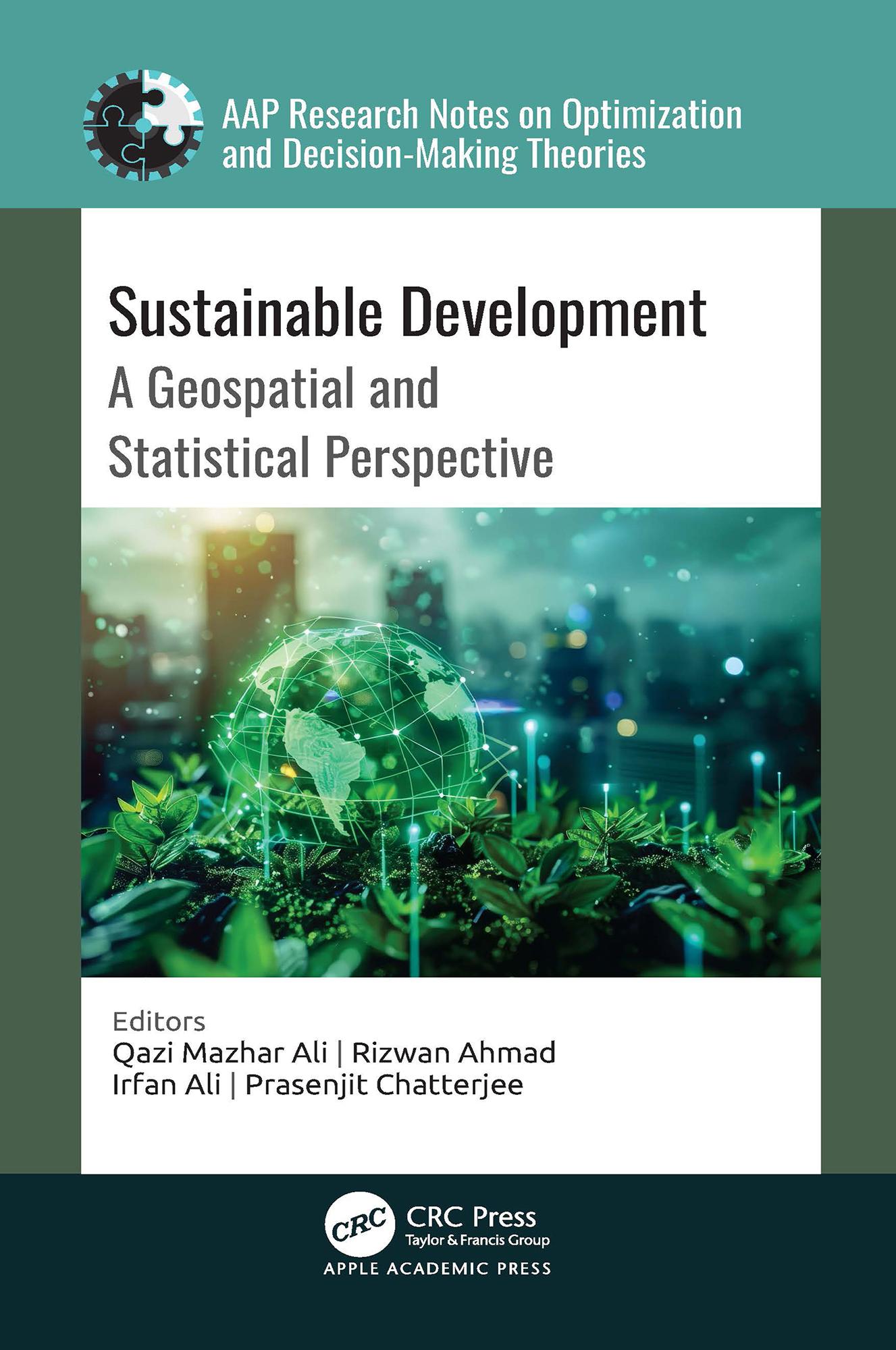
A comprehensive exploration of the intersection between the United Nations’ Sustainable Development Goals (SDGs) and geospatial technology, this new book analyzes how geospatial and statistical information, including satellite imagery, geographic information systems, remote sensing, and statistical tools and data analysis techniques, are effectively employed to assess, monitor, and facilitate sustainable development initiatives.
Pay easily by card, Klarna, Apple Pay or Google Pay. Not happy? You always have a 14-day money-back guarantee. Read more in our terms. If you have any questions, email us at hello@memmo.org.
Memmo makes studying easier – wherever you are in the world. We bring your course books and smart study tools together in one place: summaries, quizzes, podcasts and flashcards. Plus Ted, your study buddy who answers anything you wonder. Over 50,000 students already study here – built to help you learn faster and stress less.