
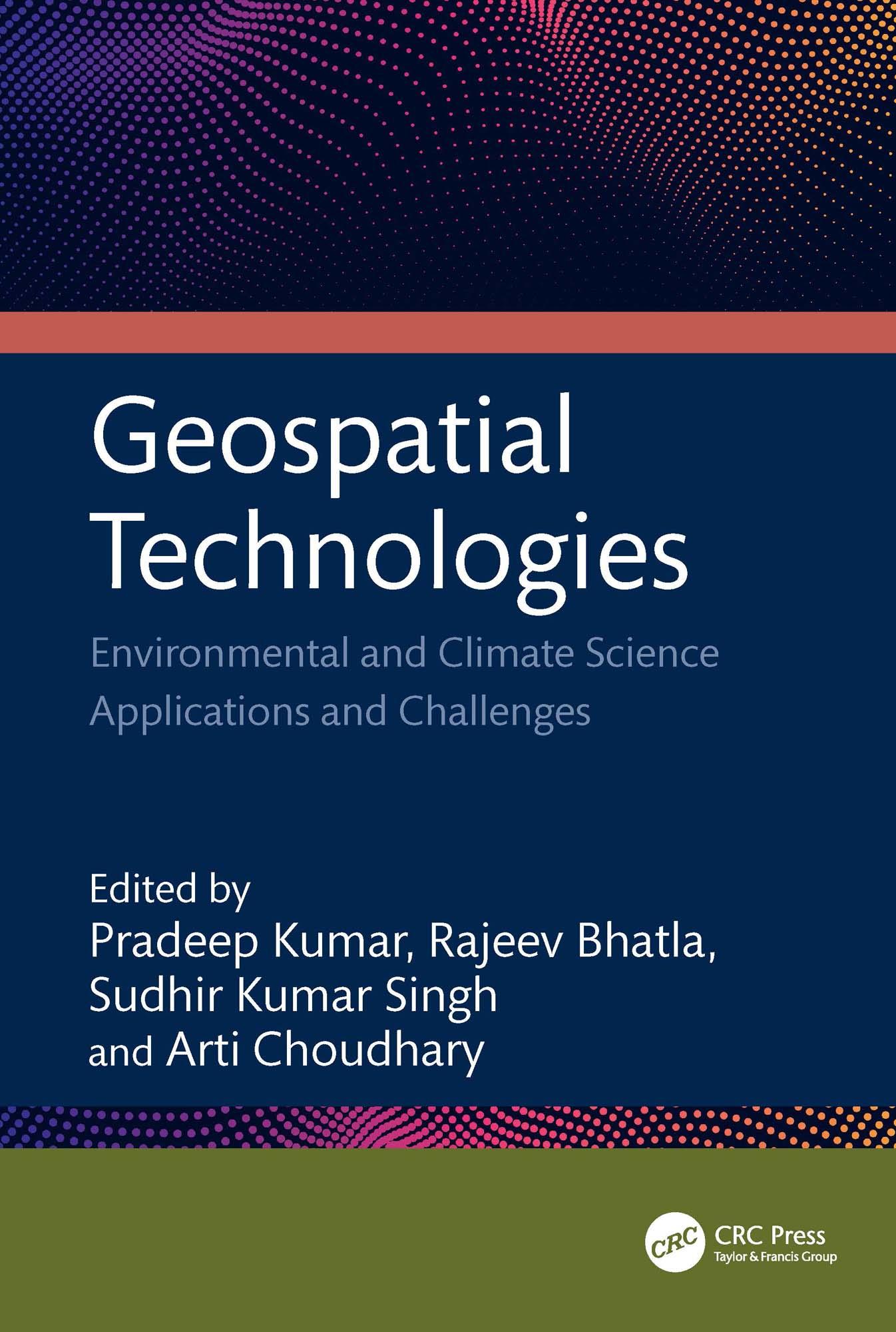
This book focuses on geospatial techniques, climate science, and predicting risk applications and challenges. It bridges the gap between the principles of geographic information science (GIS), remote sensing technology, global positioning system (GPS), and machine learning. It emphasizes the application and significance of remotely sensed data and GIS technologies in different aspects of climate science data. It considers the use of geospatial and AI in resource studies, primarily focusing on water, air, soil, urban, climate, and environmental aspects supported by case studies.
Features:
• Includes geographic technologies application with an emphasis on its modeling of climate change and meteorological elements.
• Merges geospatial technologies and AI methodologies.
• Provides canvas for social impact and community involvement in the application of geospatial technology across several industries.
• Examines heatwaves, cold waves, and dust storm models using satellite data and GIS.
• Case studies highlight the use and applicability of drones with geospatial technology.
This book is aimed at researchers and graduate students in geospatial sciences and environmental engineering.
Pay easily by card, Klarna, Apple Pay or Google Pay. Not happy? You always have a 14-day money-back guarantee. Read more in our terms. If you have any questions, email us at hello@memmo.org.
Memmo makes studying easier – wherever you are in the world. We bring your course books and smart study tools together in one place: summaries, quizzes, podcasts and flashcards. Plus Ted, your study buddy who answers anything you wonder. Over 50,000 students already study here – built to help you learn faster and stress less.