
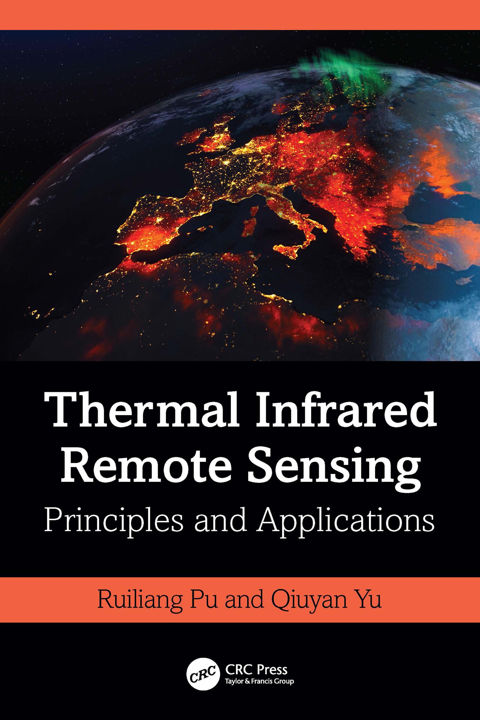
This book systematically and comprehensively introduces concepts, theories, principles, and applications of Thermal Infrared (TIR) imaging spectral techniques and TIR remote sensing. It introduces in detail algorithms, techniques, and methods for processing and analyzing TIR data, including radiometric calibration and atmospheric correction in TIR region, retrieving land surface emissivity and temperature (LST) from various TIR data, and downscaling LST and TIR radiance spatiotemporally. Focusing on TIR-RS application orientation, this book introduces state-of-the-art techniques and methods applied in areas such as hydrology, biomass burning, urban thermal environment, and other areas of interest.
Features:
- Presents a complete coverage of thermal infrared remote sensing, from concepts to applications.
- Provides a thorough survey of characteristics and types of airborne and spaceborne TIR sensors, systems, and missions.
- Discusses principles and methods of radiometric calibration and atmospheric correction for correcting TIR data.
- Includes case studies that demonstrate the applicability and potential of a variety of techniques and methods to process TIR data.
- Offers a comprehensive review of TIR remote sensing applications.
This book is a great resource for professionals in the academic and corporate world and an insightful reference for graduate and senior undergraduate students studying geology, geography, geophysics, and environments, as well as natural resources and survey management.
Pay easily by card, Klarna, Apple Pay or Google Pay. Not happy? You always have a 14-day money-back guarantee. Read more in our terms. If you have any questions, email us at hello@memmo.org.
Memmo makes studying easier – wherever you are in the world. We bring your course books and smart study tools together in one place: summaries, quizzes, podcasts and flashcards. Plus Ted, your study buddy who answers anything you wonder. Over 50,000 students already study here – built to help you learn faster and stress less.