
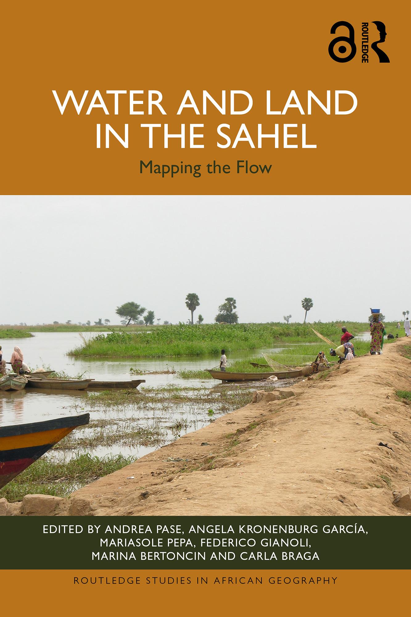
Drawing on over thirty years of research, this book investigates the intermingling of land and water in the Sahel, analysing landscapes defined by the ebb and flow of rainfall, flooding and population movements, as well as environmental, political and social crises.
Exploring both the seasonal flooding of rivers around the Nile, Chari-Logone, Niger and Senegal, as well as agricultural irrigation projects such as dams, canals and pumping stations, the book examines the different narratives related to water and land in the Sahel. It combines fieldwork research with remote sensing, big data and GIS mapping to outline the ever-changing interplay between land and water in the region. Beyond this, the book also reinterprets the colonial and post-colonial legacies of large-scale irrigation projects and the geopolitical interests which defined them.
Supported by an Open Access website with a WebGIS and further maps and analysis, this book is an essential read for policy makers and development practitioners in the region, as well as for researchers and scholars across the fields of geography, history, political science, sustainable development and African studies.
The Open Access version of this book, available at www.taylorfrancis.com, has been made available under a Creative Commons Attribution-No Derivatives (CC-BY-ND) 4.0 license.
Pay easily by card, Klarna, Apple Pay or Google Pay. Not happy? You always have a 14-day money-back guarantee. Read more in our terms. If you have any questions, email us at hello@memmo.org.
Memmo makes studying easier – wherever you are in the world. We bring your course books and smart study tools together in one place: summaries, quizzes, podcasts and flashcards. Plus Ted, your study buddy who answers anything you wonder. Over 50,000 students already study here – built to help you learn faster and stress less.