
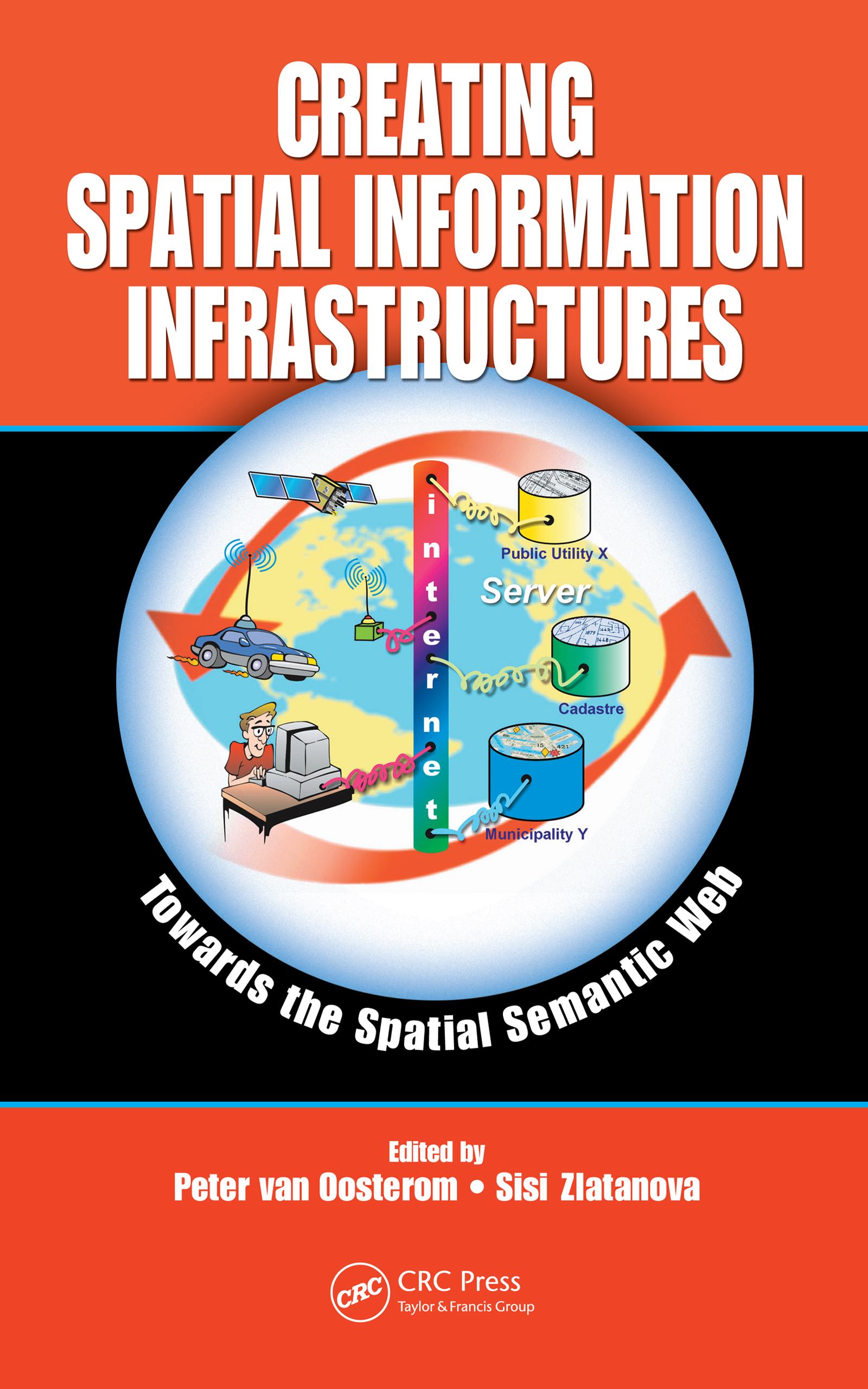
Initiatives, such as INSPIRE and the US DHS Geospatial Data Model, are working to develop a rich set of standards that will create harmonized models and themes for the spatial information infrastructure. However, this is only the first step. Semantically meaningful models must still be developed in order to stimulate interoperability.
Creatin
Pay easily by card, Klarna, Apple Pay or Google Pay. Not happy? You always have a 14-day money-back guarantee. Read more in our terms. If you have any questions, email us at hello@memmo.org.
Memmo makes studying easier – wherever you are in the world. We bring your course books and smart study tools together in one place: summaries, quizzes, podcasts and flashcards. Plus Ted, your study buddy who answers anything you wonder. Over 75,000 students already study here – built to help you learn faster and stress less.
You might also like
Buy the book0