
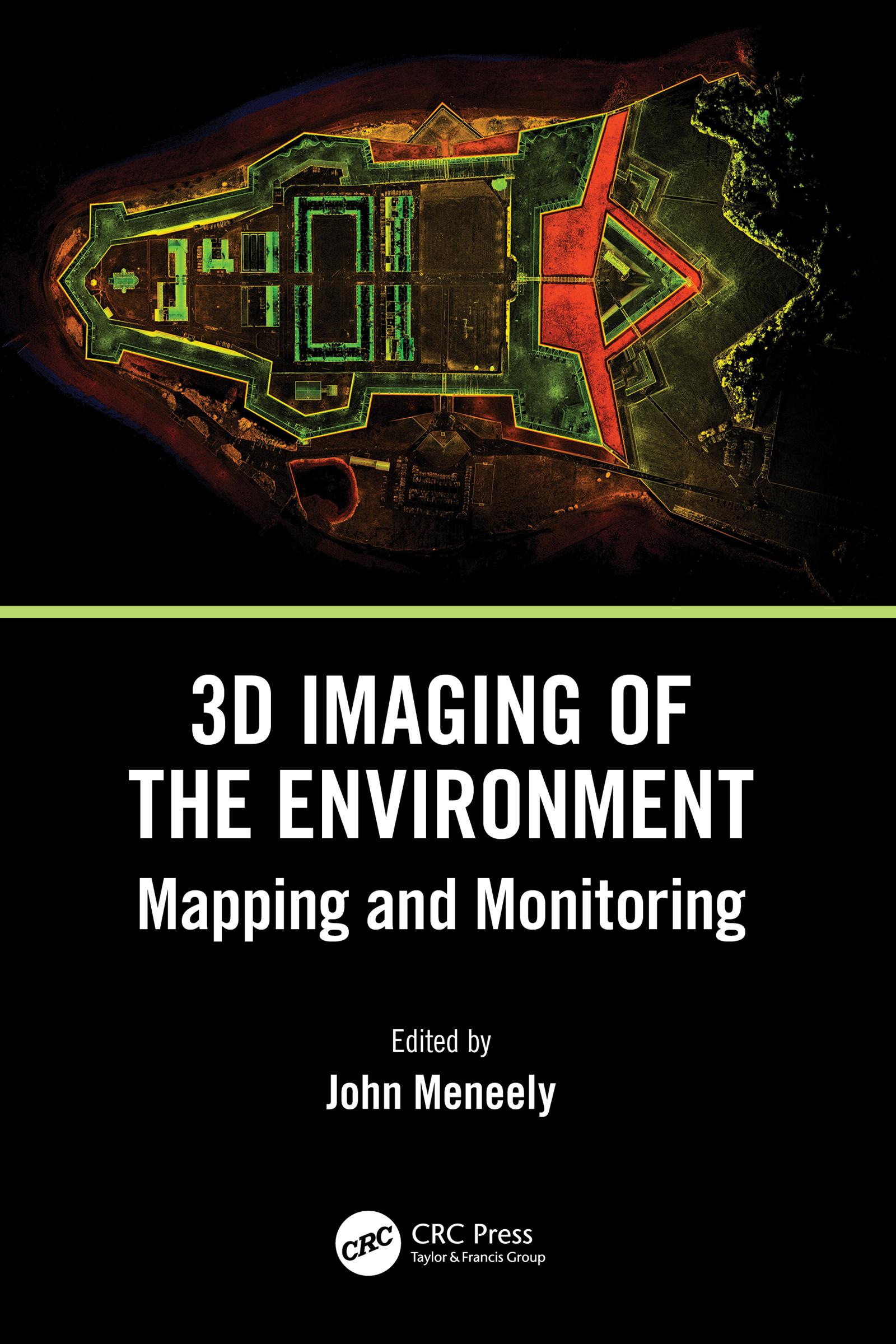
This is a comprehensive, overarching, interdisciplinary book and a valuable contribution to a unified view of visualisation, imaging, and mapping. It covers a variety of modern techniques, across an array of spatial scales, with examples of how to map, monitor, and visualise the world in which we live. The authors give detailed explanations of the techniques used to map and monitor the built and natural environment and how that data, collected from a wide range of scales and cost options, is translated into an image or visual experience. It is written in a way that successfully reaches technical, professional, and academic readers alike, particularly geographers, architects, geologists, and planners.
FEATURES
- Includes in-depth discussion on 3D image processing and modeling
- Focuses on the 3D application of remote sensing, including LiDAR and digital photography acquired by UAS and terrestrial techniques
- Introduces a broad range of data collection techniques and visualisation methods
- Includes contributions from outstanding experts and interdisciplinary teams involved in earth sciences
- Presents an open access chapter about the EU-funded CHERISH Project, detailing the development of a toolkit for the 3D documentation and analysis of the combined coastline shared between Ireland and Wales
Intended for those with a background in the technology involved with imaging and mapping, the contributions shared in this book introduce readers to new and emerging 3D imaging tools and programs.
Pay easily by card, Klarna, Apple Pay or Google Pay. Not happy? You always have a 14-day money-back guarantee. Read more in our terms. If you have any questions, email us at hello@memmo.org.
Memmo makes studying easier – wherever you are in the world. We bring your course books and smart study tools together in one place: summaries, quizzes, podcasts and flashcards. Plus Ted, your study buddy who answers anything you wonder. Over 50,000 students already study here – built to help you learn faster and stress less.