
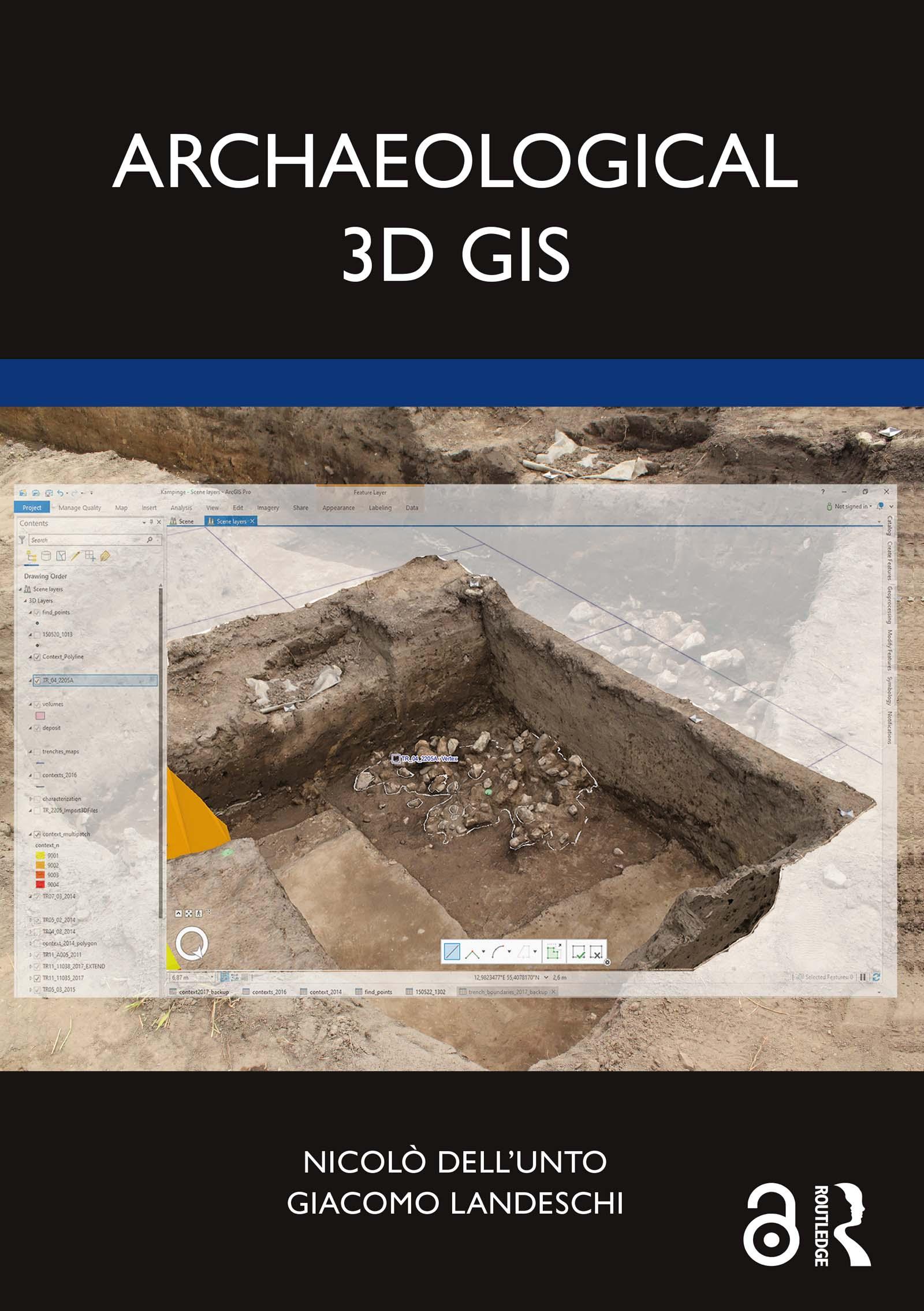
Archaeological 3D GIS provides archaeologists with a guide to explore and understand the unprecedented opportunities for collecting, visualising, and analysing archaeological datasets in three dimensions.
With platforms allowing archaeologists to link, query, and analyse in a virtual, georeferenced space information collected by different specialists, the book highlights how it is possible to re-think aspects of theory and practice which relate to GIS. It explores which questions can be addressed in such a new environment and how they are going to impact the way we interpret the past. By using material from several international case studies such as Pompeii, Çatalhöyük, as well as prehistoric and protohistoric sites in Southern Scandinavia, this book discusses the use of the third dimension in support of archaeological practice.
This book will be essential for researchers and scholars who focus on archaeology and spatial analysis, and is designed and structured to serve as a textbook for GIS and digital archaeology courses.
The Open Access version of this book, available at www.taylorfrancis.com, has been made available under a Creative Commons Attribution-Non Commercial-No Derivatives 4.0 license.
Pay easily by card, Klarna, Apple Pay or Google Pay. Not happy? You always have a 14-day money-back guarantee. Read more in our terms. If you have any questions, email us at hello@memmo.org.
Memmo makes studying easier – wherever you are in the world. We bring your course books and smart study tools together in one place: summaries, quizzes, podcasts and flashcards. Plus Ted, your study buddy who answers anything you wonder. Over 75,000 students already study here – built to help you learn faster and stress less.