
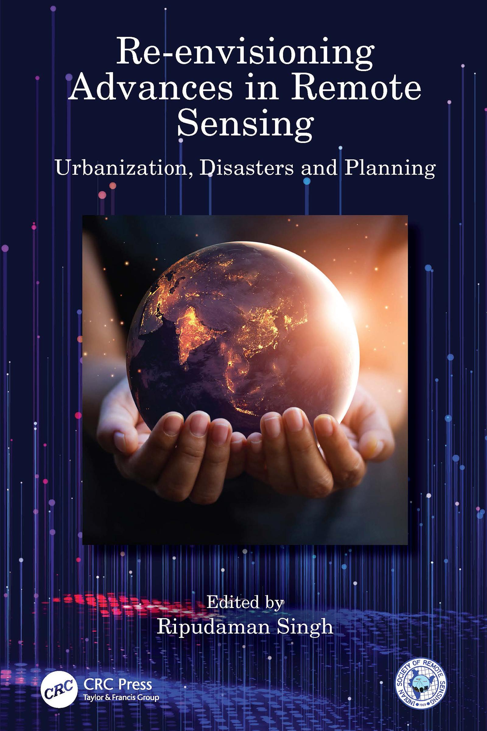
Re-envisioning Advances in Remote Sensing: Urbanization, Disasters and Planning aims at portraying varied advancements in remote sensing applications, particularly in the fields of urbanization, disaster management and regional planning perspectives. The book is organized into three sections of overlapping areas of research covering chief remote sensing applications. Apart from introducing the advances in remote sensing through Indian remote sensing developments, it depicts the broader themes of: urbanization and its impacts; geospatial technology for disaster management; and, remote sensing applications in models and planning. It also provides outlook to future research agenda for remote sensing.
Features:
• Depicts advances in remote sensing in major fields through applications of geospatial technologies.
• Covers remote sensing applications in varied aspects of urbanization, urban problems and disasters.
• Includes advancements in remote sensing in model building and planning perspectives.
• Analyses the usage of smartphones and other digital devices in mapping urban problems and monitoring disaster risks.
• Explores future agenda for remote sensing advances and its ever-widening horizon.
This book would be of interest to all the researchers and graduate students pursuing studies in the fields of remote sensing, GIS, geospatial technologies, urbanizations, disaster management, regional planning, environmental sciences, natural resource management and related fields.
Pay easily by card, Klarna, Apple Pay or Google Pay. Not happy? You always have a 14-day money-back guarantee. Read more in our terms. If you have any questions, email us at hello@memmo.org.
Memmo makes studying easier – wherever you are in the world. We bring your course books and smart study tools together in one place: summaries, quizzes, podcasts and flashcards. Plus Ted, your study buddy who answers anything you wonder. Over 75,000 students already study here – built to help you learn faster and stress less.